


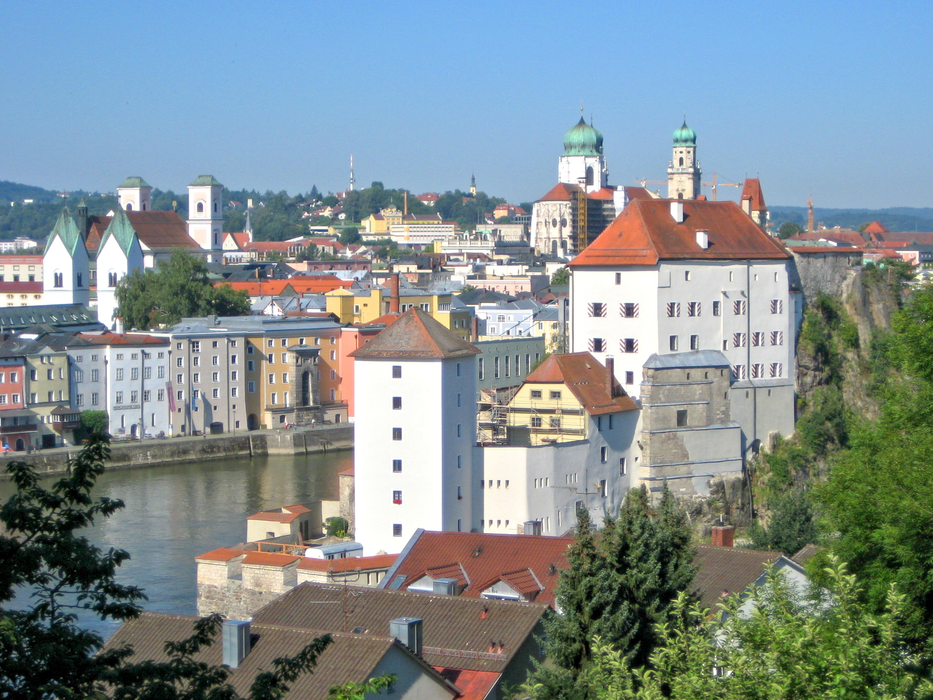
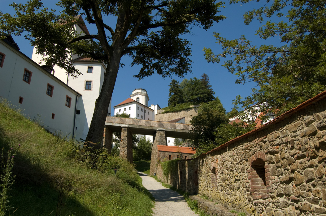
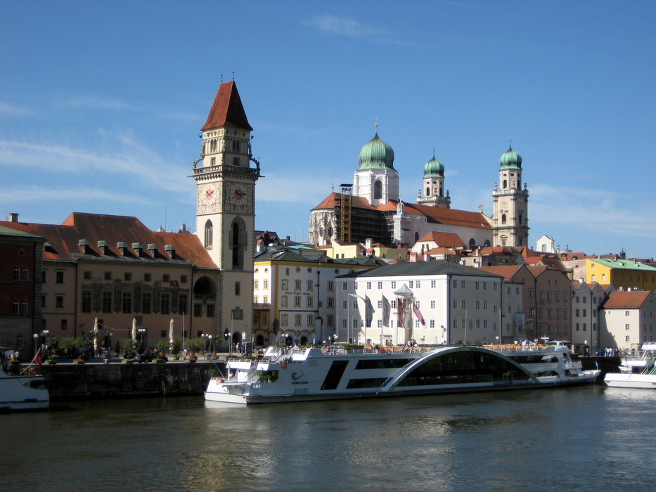
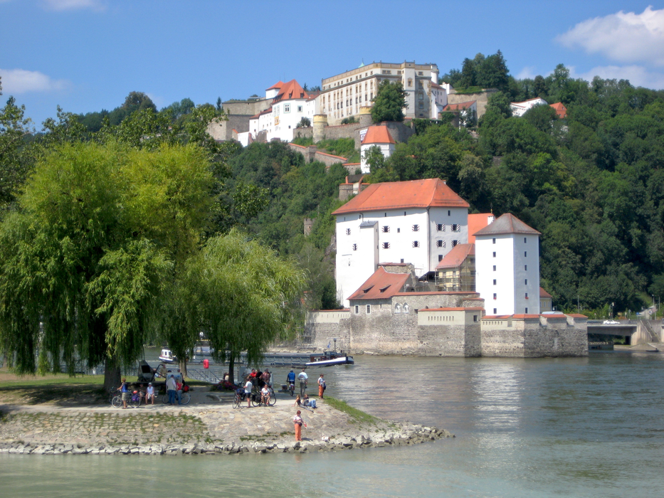
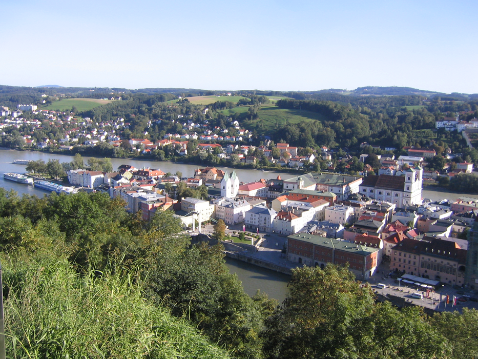
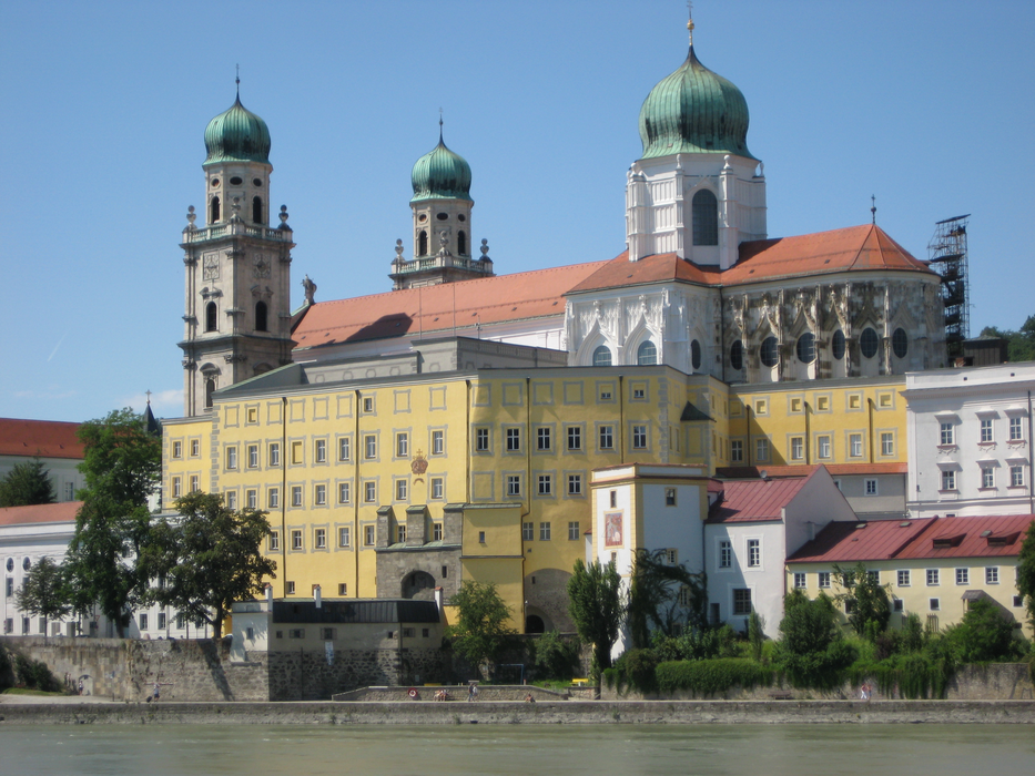
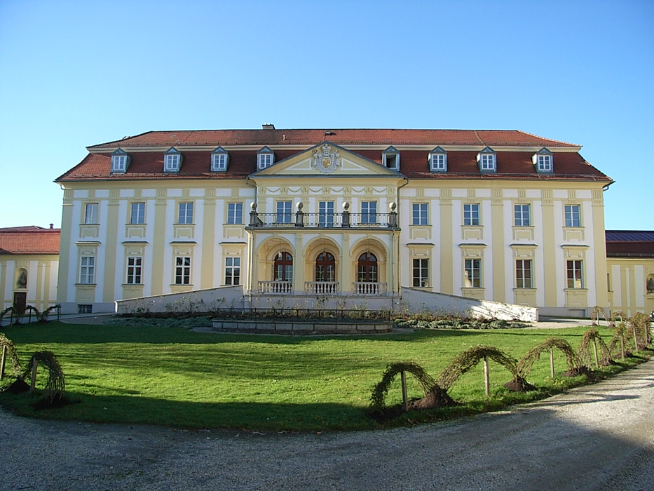
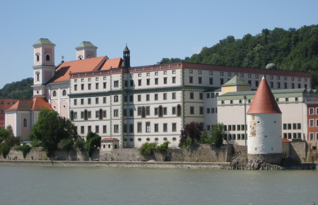
Gallery


Map and nearest places
| Longitude | Latitude |
|---|---|
| 48.583055555555596 | 13.4830555555556 |
| 48°34'0"N | 13°28'0"E |
| Nearest places | ||
|---|---|---|
 | Scharding | 14.5km |
 | Eging am See | 21.8km |
 | Freyung | 24.6km |
 | Bad Griesbach im Rottal | 25.6km |
 | Osterhofen | 36.7km |
 | Altheim | 41.4km |
| Wels Airport | 60.6km | |
| Blue Danube Airport | 64.9km | |
| W. A. Mozart Airport | 94.7km | |
| Landshut Airport | 106.9km | |
| Franz Josef Straus International Airport | 127.6km | |
| Dobersberg Airport | 138.2km | |
| John Paul II International Airport | 485.8km | |
| Tuuta Airport | 19,085.1km | |
Accomodation

Restaurants
Museums
Breweries
Weblinks
Comments
You need to log in to add comment