


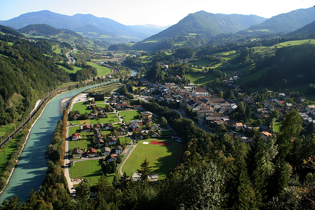
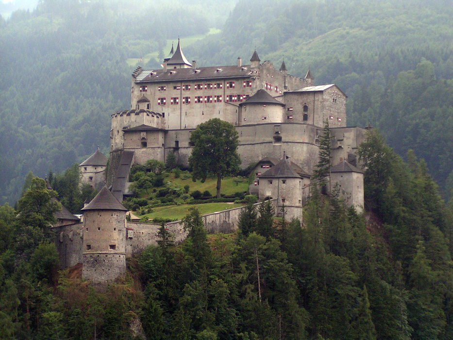
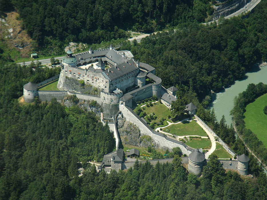


Map and nearest places
| Longitude | Latitude |
|---|---|
| 47.475 | 13.188888888888899 |
| 47°28'0"N | 13°11'0"E |
| Nearest places | ||
|---|---|---|
 | Pfarrwerfen | 2.2km |
 | H�ttau | 11.1km |
| Abtenau | 13.7km | |
 | Sankt Johann im Pongau | 13.9km |
 | Sankt Martin am Tennengebirge | 14.5km |
 | Kuchl | 17.3km |
| Zell am See Airport | 36.3km | |
| W. A. Mozart Airport | 38.0km | |
| Lienz-Nikolsdorf Airport | 78.8km | |
| Wels Airport | 101.2km | |
| Blue Danube Airport | 112.5km | |
| Klagenfurt Airport | 127.0km | |
| John Paul II International Airport | 563.0km | |
| Tuuta Airport | 19,162.5km | |
Accomodation

Weblinks
Comments
You need to log in to add comment