


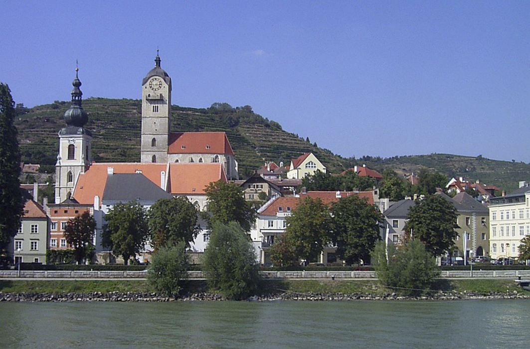
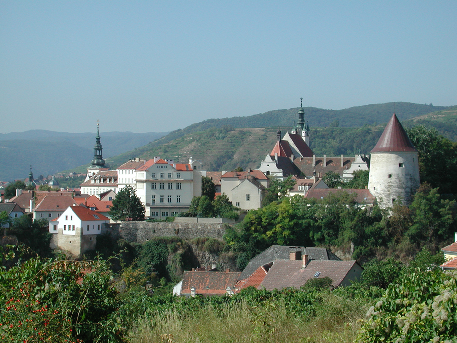
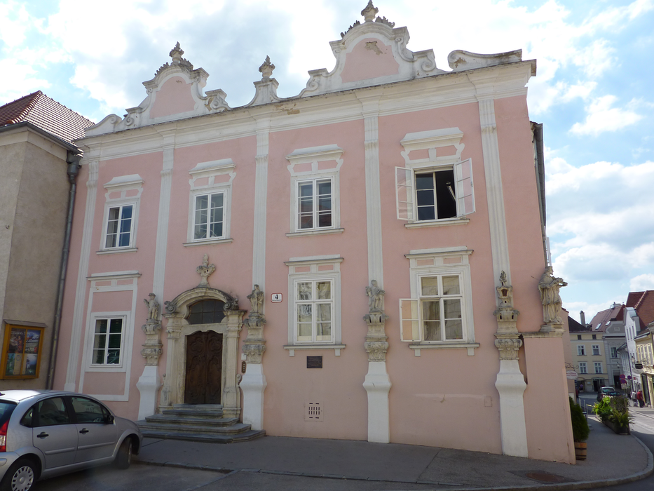


Map and nearest places
| Longitude | Latitude |
|---|---|
| 48.4108333333333 | 15.6102777777778 |
| 48°24'0"N | 15°36'0"E |
| Nearest places | ||
|---|---|---|
| Krems Airport | 4.4km | |
 | Furth bei G�ttweig | 5.0km |
 | Senftenberg | 6.0km |
 | D�rnstein | 6.9km |
| Langenlois | 8.2km | |
| Wei�enkirchen in der Wachau | 10.5km | |
 | Spitz | 15.3km |
| Dobersberg Airport | 61.3km | |
| Bad Voeslau | 69.1km | |
| Vienna Schwechat International Airport | 78.5km | |
| Blue Danube Airport | 107.0km | |
| Brno-Turany Airport | 114.4km | |
| John Paul II International Airport | 355.1km | |
| Tuuta Airport | 18,955.1km | |
Restaurants
Museums
Wineries
Airports
Weblinks
Comments
You need to log in to add comment