


Map and nearest places
| Longitude | Latitude |
|---|---|
| 70.734167 | -52.696111 |
| 70°44'0"N | 52°41'0"W |
| Nearest places | ||
|---|---|---|
| Qaarsut | 1.7km | |
 | Uummannaq | 22.0km |
| Uummannaq Heliport | 22.1km | |
| Ikerasak | 57.5km | |
| Ikerasak Heliport | 57.9km | |
| Illorsuit | 64.6km | |
| Illorsuit Heliport | 64.8km | |
 | Qeqertarsuaq | 165.5km |
| Qeqertarsuaq Heliport | 168.0km | |
| Ilulissat Airport | 177.1km | |
 | Ilulissat | 179.3km |
| Kangersuatsiaq Heliport | 210.4km | |
| John Paul II International Airport | 4,228.5km | |
| Hobart International Airport | 16,715.9km | |
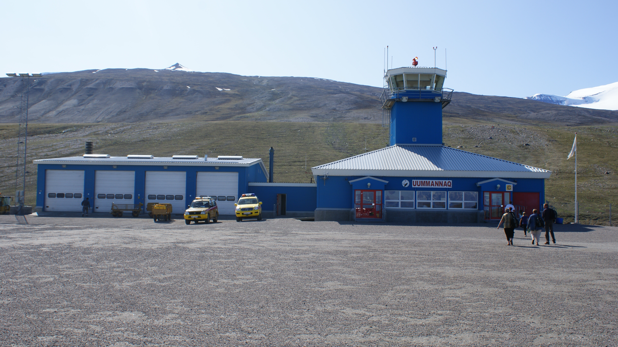
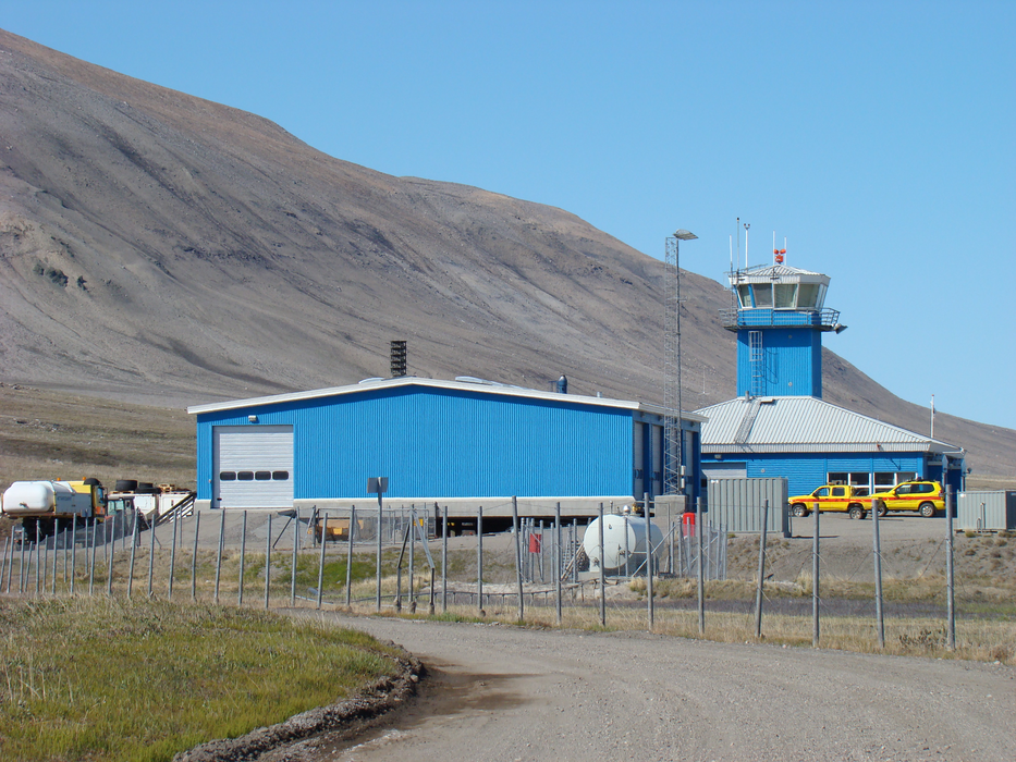
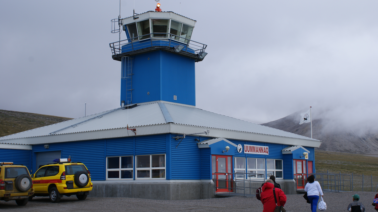
General informations
| Airport type | Local airport |
| ICAO | BGUQ |
| IATA | JQA |
Weblinks
Comments
You need to log in to add comment