


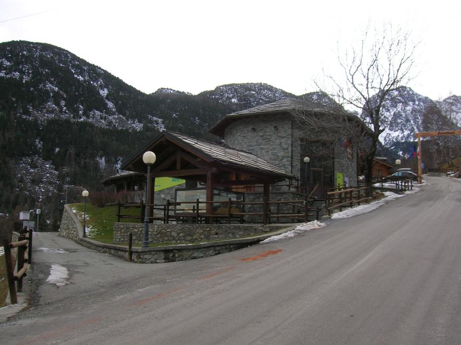
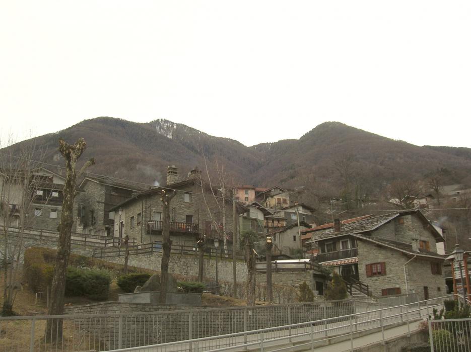
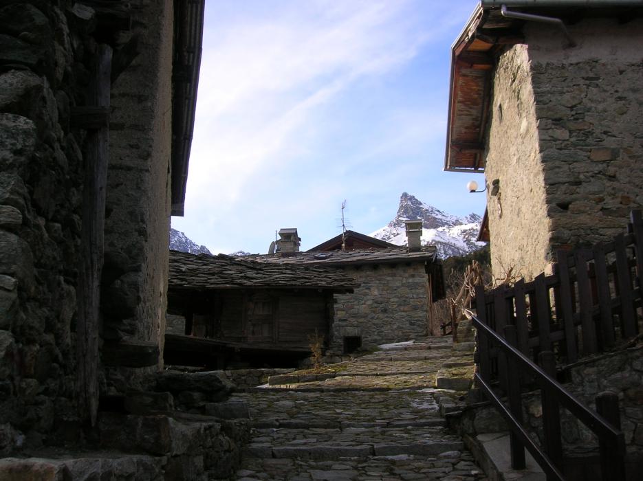
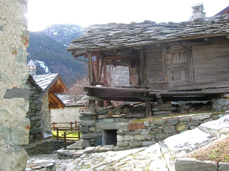


Map and nearest places
| Longitude | Latitude |
|---|---|
| 45.6833333333333 | 7.65 |
| 45°40'0"N | 7°39'0"E |
| Nearest places | ||
|---|---|---|
 | Montjovet | 3.2km |
 | Verres | 4.3km |
 | Issogne | 4.5km |
 | Saint Vincent | 7.4km |
 | Challand-Saint-Anselme | 7.5km |
 | Arnad | 7.6km |
| Aosta Airport | 22.7km | |
| Biella-Cerrione Airport | 41.0km | |
| Turin International Airport | 52.6km | |
| Sion Airport | 64.6km | |
| Bex Airport | 82.1km | |
| Malpensa International Airport | 83.7km | |
| John Paul II International Airport | 1,026.7km | |
| Tuuta Airport | 19,629.7km | |
Accomodation
Weblinks
Comments
You need to log in to add comment