


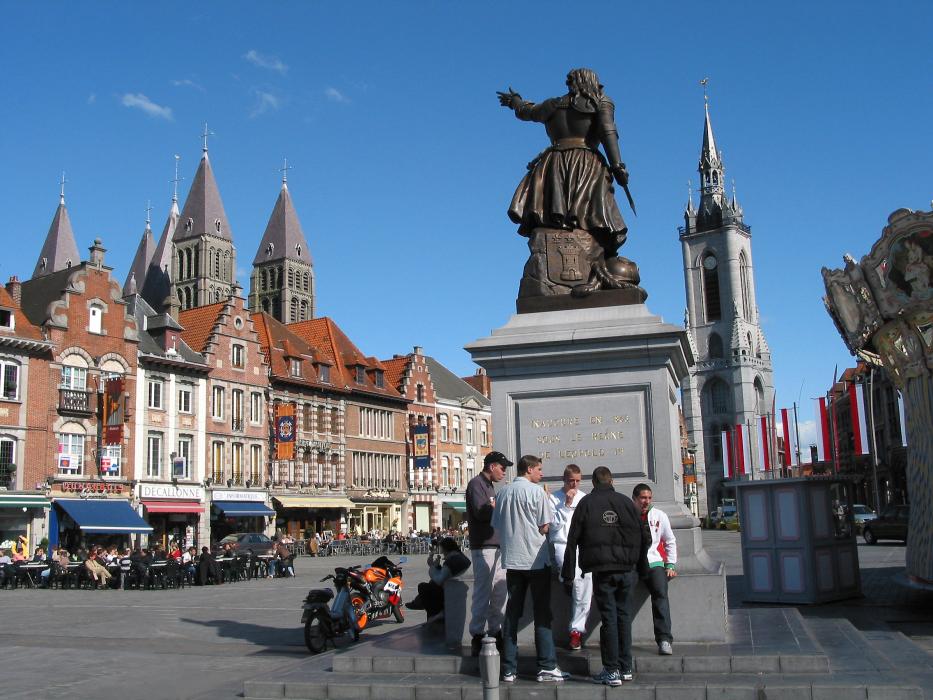
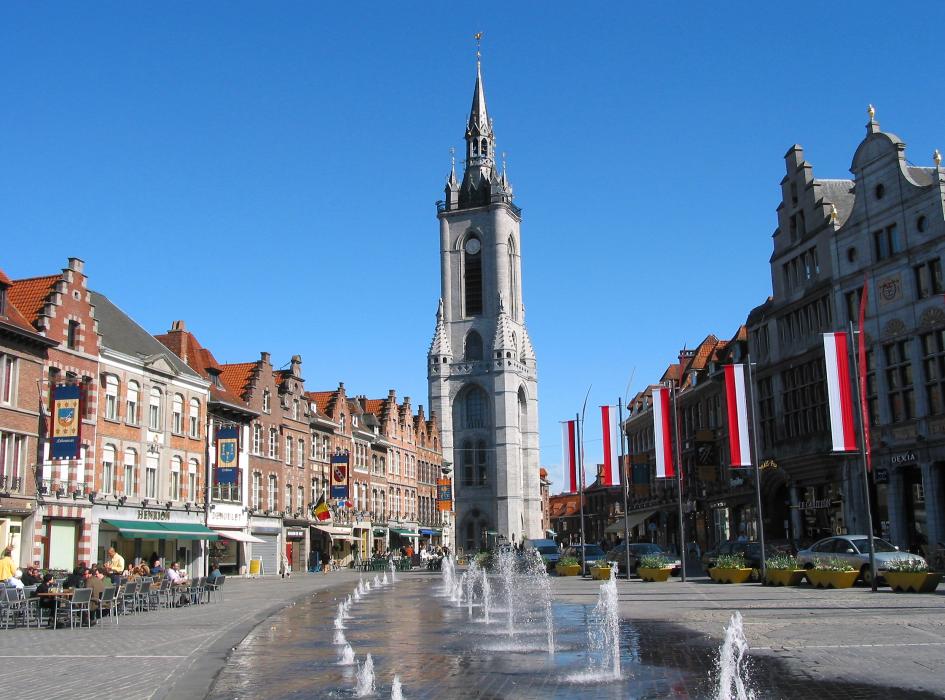
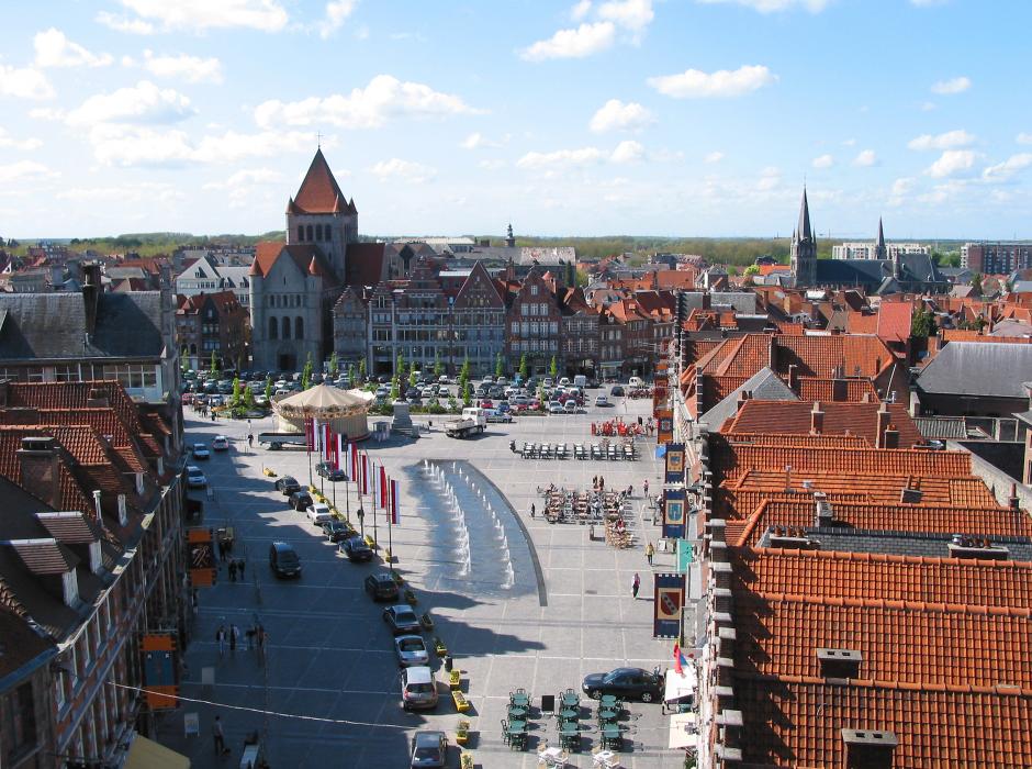
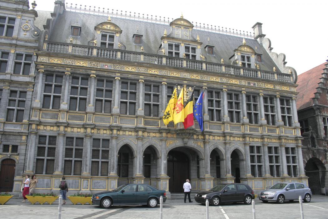
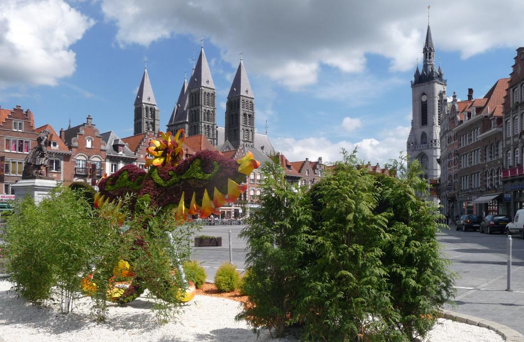
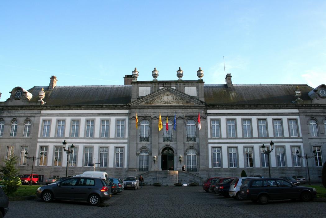
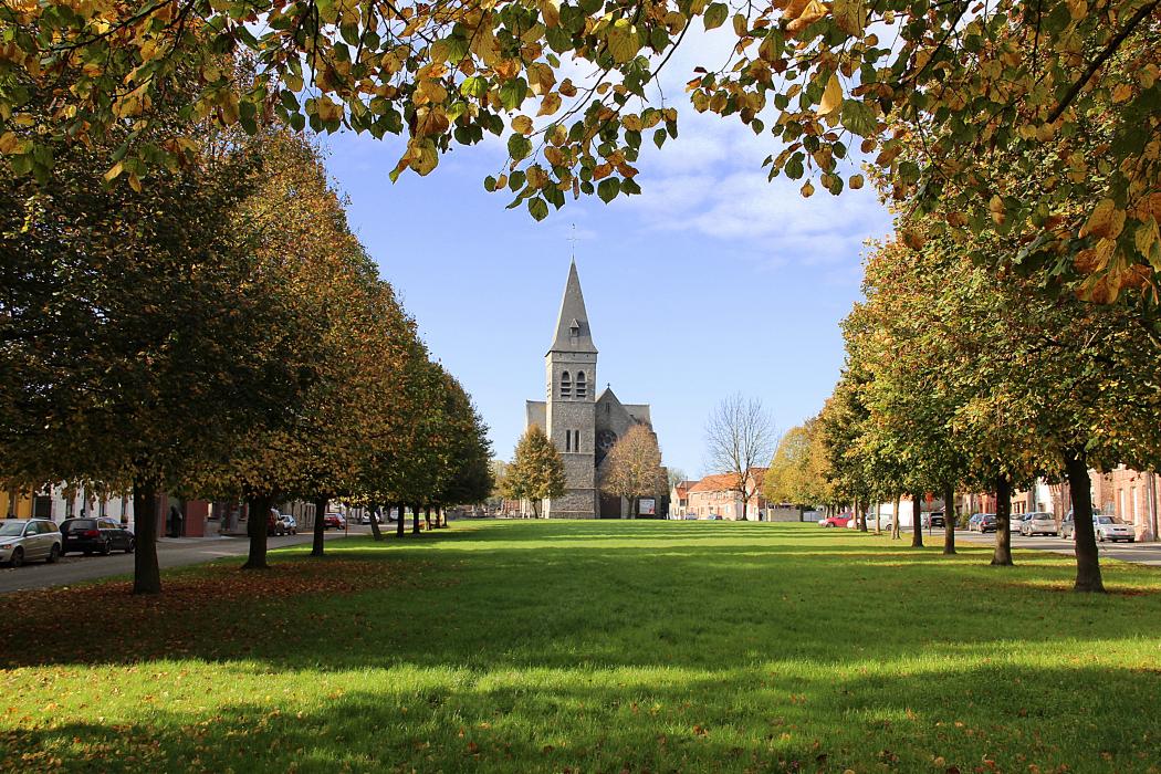
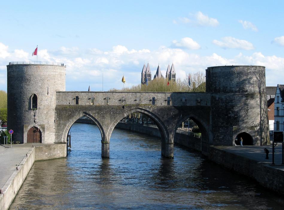
Gallery


Map and nearest places
| Longitude | Latitude |
|---|---|
| 50.6 | 3.3833333333333298 |
| 50°36'0"N | 3°22'0"E |
| Nearest places | ||
|---|---|---|
| Wattrelos | 16.2km | |
.svg_1695288522_16.png) | Roubaix | 17.4km |
 | Mouscron | 18.9km |
.svg_1156853173_16.png) | Tourcoing | 20.8km |
| Lille Lesquin International Airport | 21.2km | |
 | Ronse | 22.6km |
| Lille | 23.0km | |
| Flanders International Airport | 27.2km | |
| Aérodrome de Valenciennes - Denain | 31.2km | |
| Aéroport de Arras - Roclincourt | 51.2km | |
| Merville Airport | 52.5km | |
| Ostend-Bruges International Airport | 76.0km | |
| John Paul II International Airport | 1,163.1km | |
| Tuuta Airport | 19,260.0km | |
Accomodation
Restaurants
Weblinks
Comments
You need to log in to add comment