


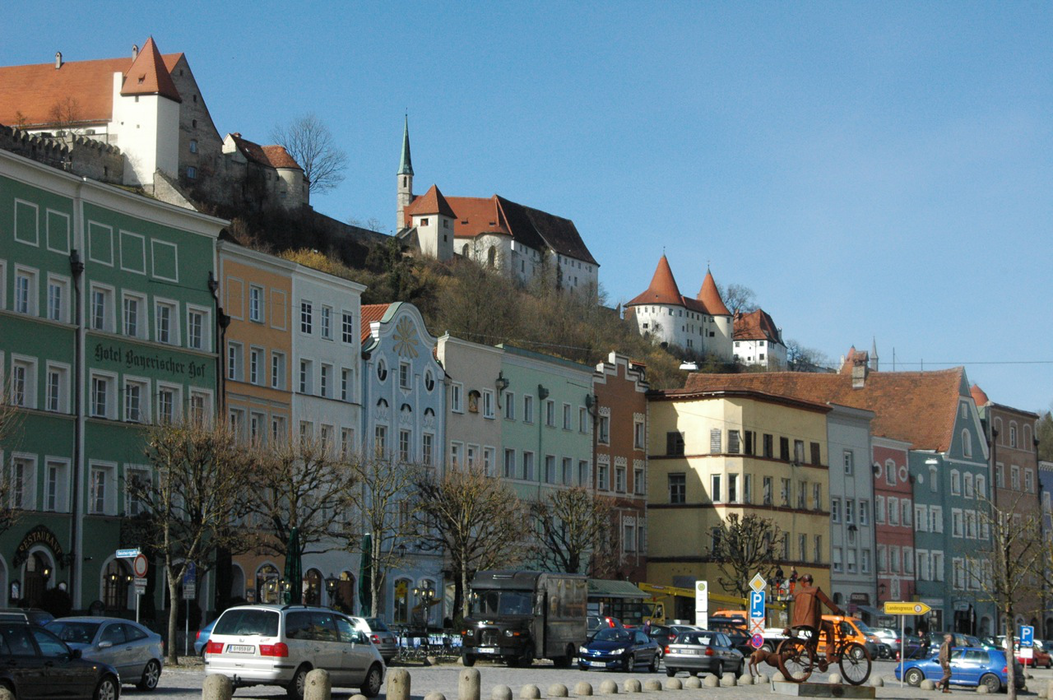
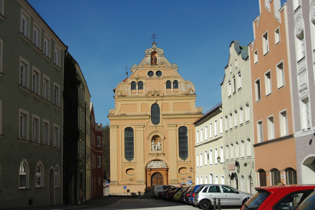
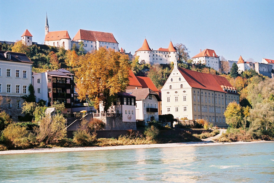
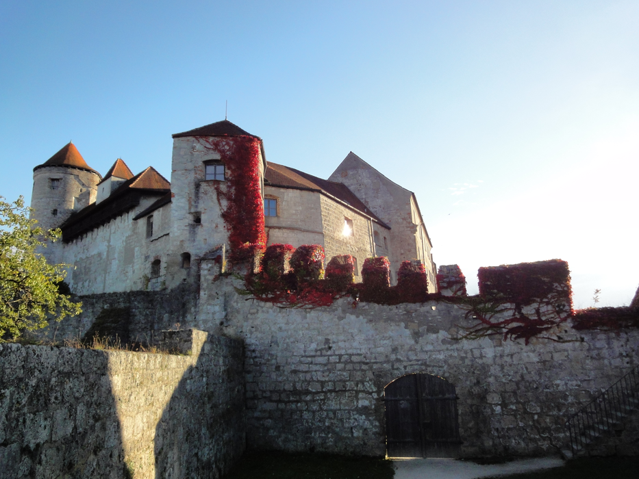
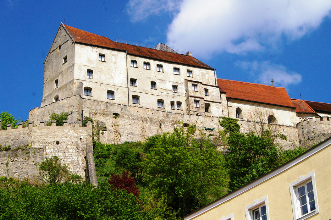
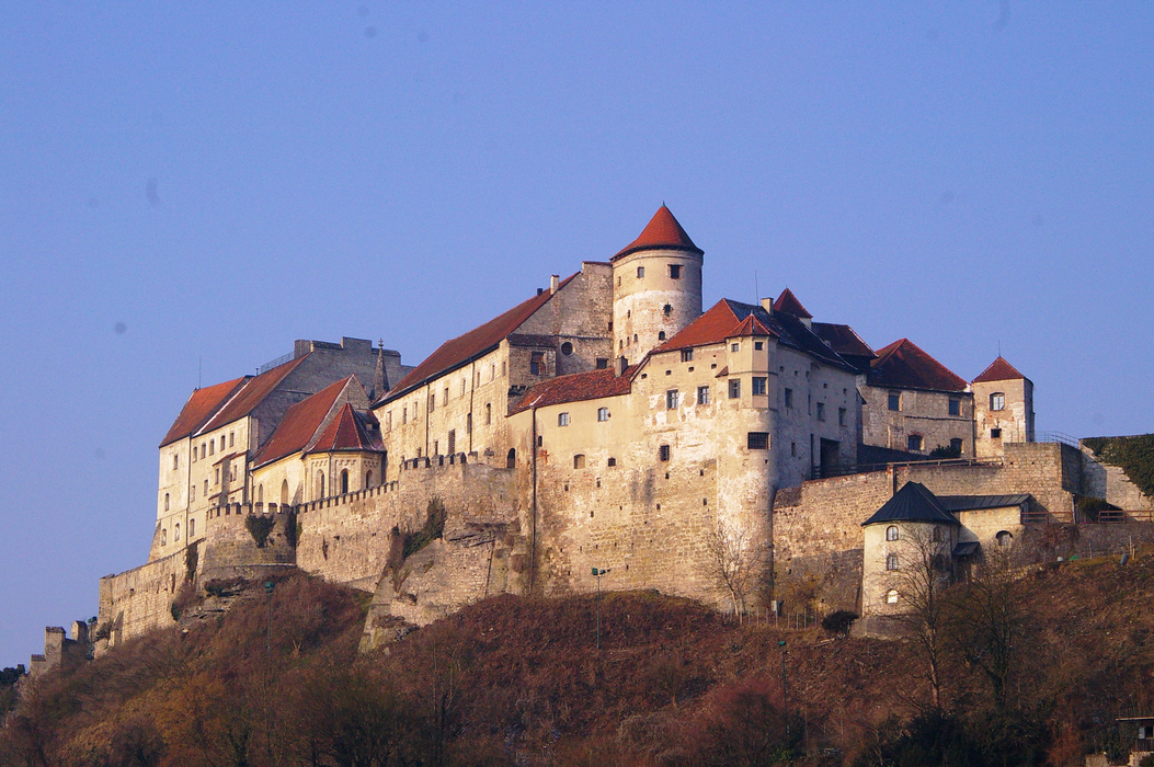
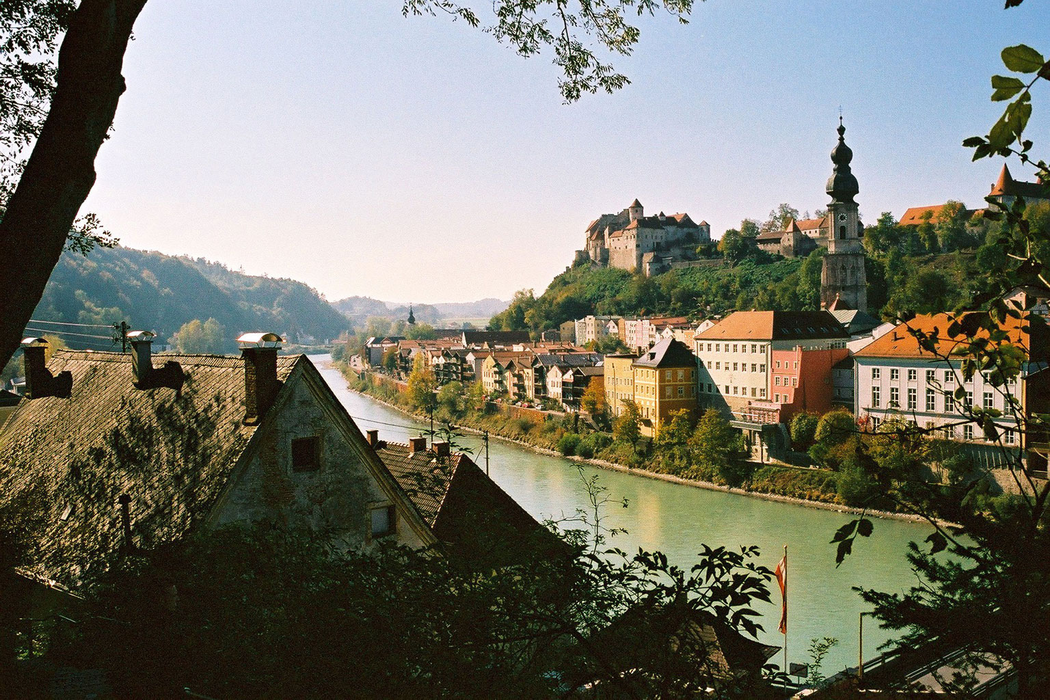
Gallery


Map and nearest places
| Longitude | Latitude |
|---|---|
| 48.1666666666667 | 12.833333333333298 |
| 48°10'0"N | 12°49'0"E |
| Nearest places | ||
|---|---|---|
| Tittmoning | 12.5km | |
 | Altotting | 13.3km |
 | Simbach | 17.6km |
 | Braunau am Inn | 18.1km |
 | Mattighofen | 24.5km |
| Trostberg | 26.9km | |
| W. A. Mozart Airport | 43.4km | |
| Landshut Airport | 70.4km | |
| Franz Josef Straus International Airport | 80.2km | |
| Wels Airport | 89.6km | |
| Zell am See Airport | 97.2km | |
| Blue Danube Airport | 100.6km | |
| John Paul II International Airport | 548.4km | |
| Tuuta Airport | 19,150.1km | |
Accomodation
Restaurants
Weblinks
Comments
You need to log in to add comment