


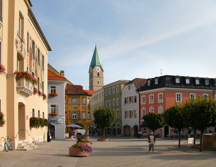
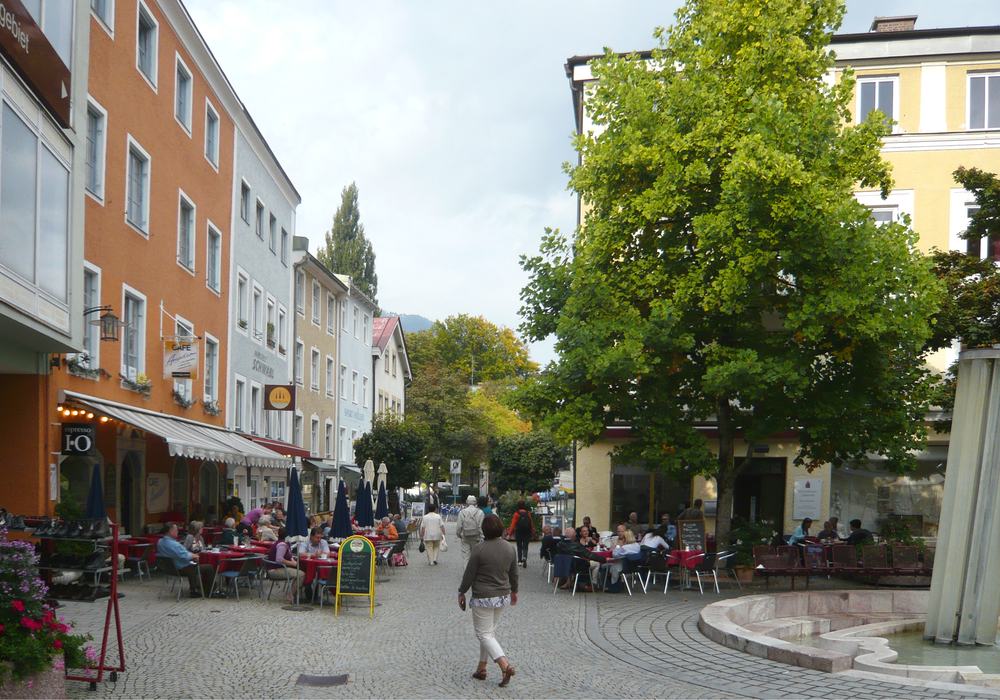
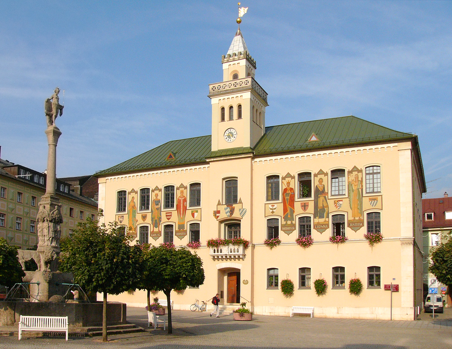
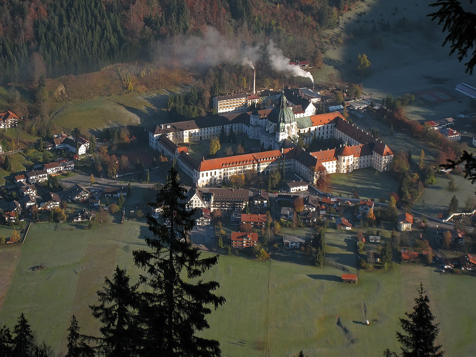
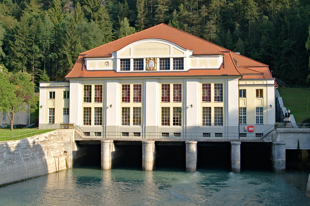
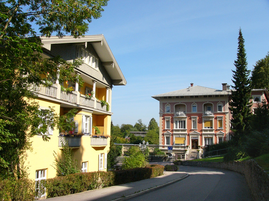
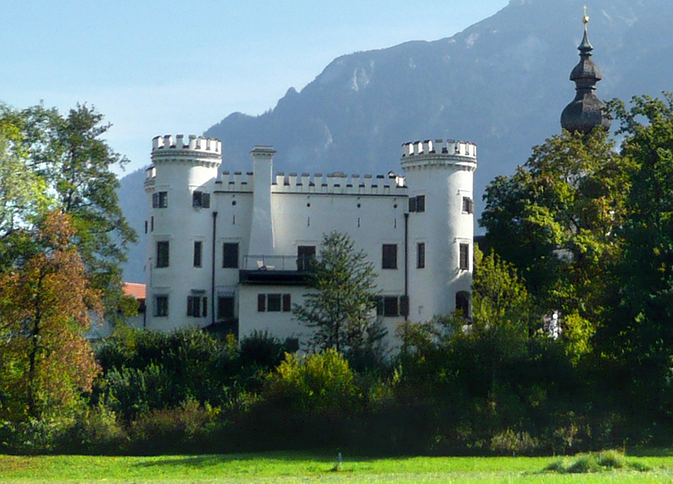
Gallery


Map and nearest places
| Longitude | Latitude |
|---|---|
| 47.7247222222222 | 12.8769444444444 |
| 47°43'0"N | 12°52'0"E |
| Nearest places | ||
|---|---|---|
 | Bayerisch Gmain | 1.9km |
 | Anger | 7.3km |
 | Schneizlreuth | 7.4km |
 | Inzell | 10.6km |
 | Bischofswiesen | 10.6km |
 | Marktschellenberg | 10.8km |
| W. A. Mozart Airport | 12.2km | |
| Zell am See Airport | 48.4km | |
| Wels Airport | 100.6km | |
| Lienz-Nikolsdorf Airport | 103.0km | |
| Franz Josef Straus International Airport | 107.1km | |
| Landshut Airport | 107.6km | |
| John Paul II International Airport | 568.4km | |
| Tuuta Airport | 19,171.1km | |

Restaurants
Weblinks
Comments
You need to log in to add comment