


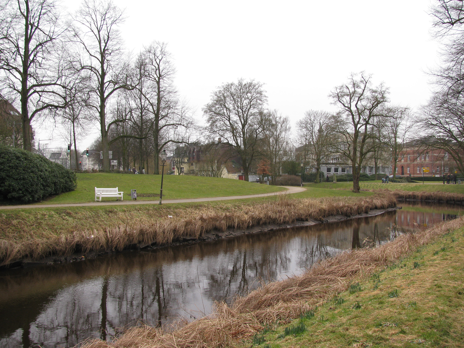
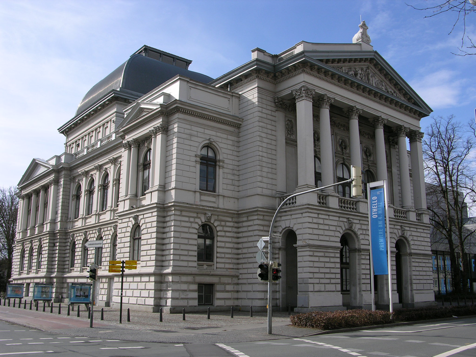
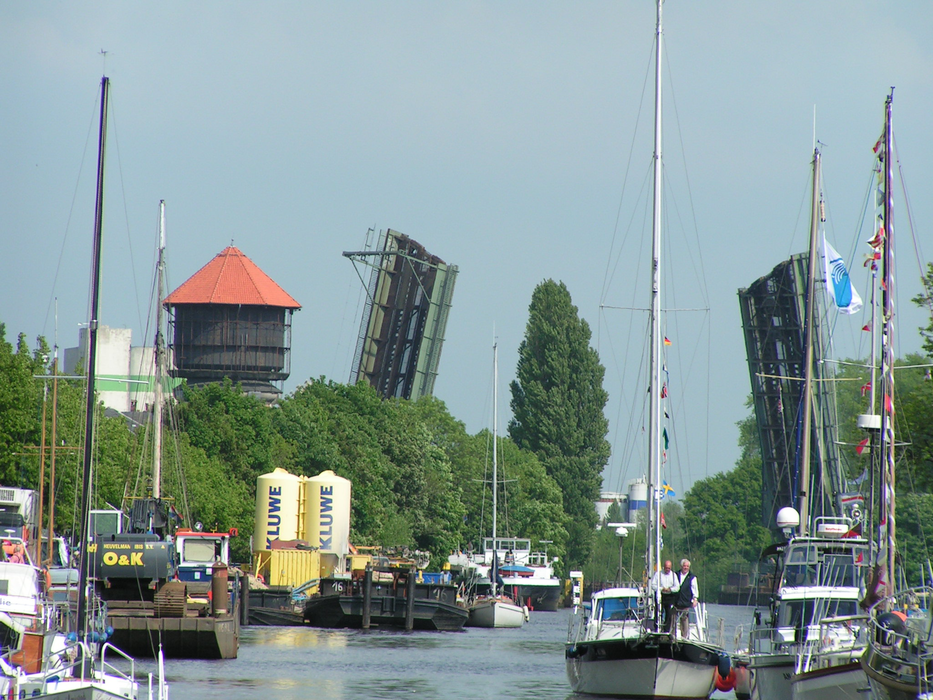
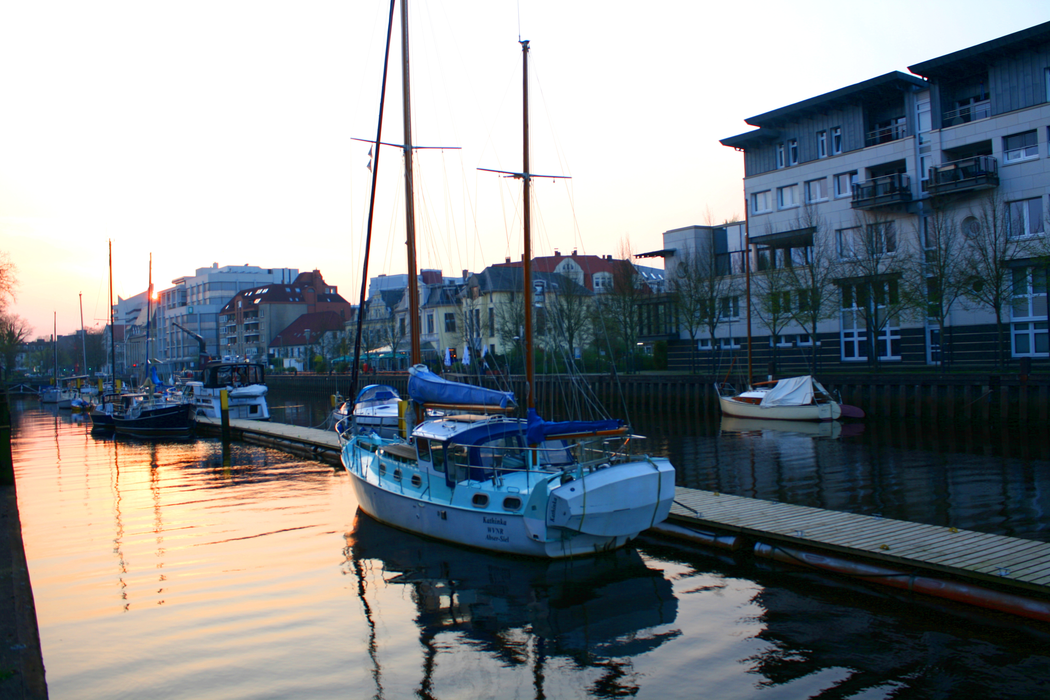
Gallery


Map and nearest places
| Longitude | Latitude |
|---|---|
| 53.1438888888889 | 8.21388888888889 |
| 53°8'0"N | 8°12'0"E |
| Nearest places | ||
|---|---|---|
 | Bad Zwischenahn | 13.9km |
 | Westerstede | 23.0km |
| Westerwede Airport | 24.8km | |
 | Friesoythe | 27.4km |
 | Varel | 28.6km |
 | Delmenhorst | 29.8km |
 | Cloppenburg | 34.8km |
| Bremen Airport | 39.7km | |
| Bremerhaven Airport | 46.9km | |
| Harle Airport | 67.8km | |
| Emden Airport | 71.1km | |
| Wangerooge Airport | 73.8km | |
| John Paul II International Airport | 867.4km | |
| Tuuta Airport | 18,922.2km | |
Accomodation

Weblinks
Comments
You need to log in to add comment