


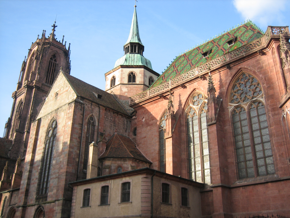
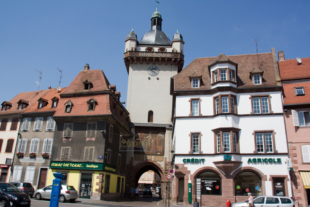
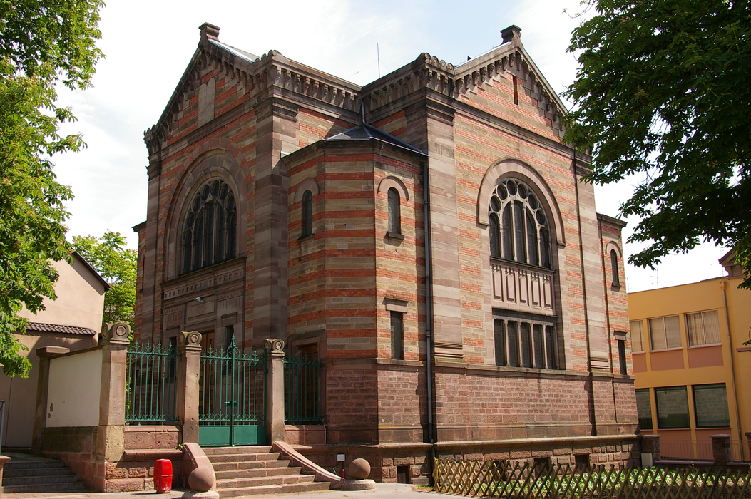
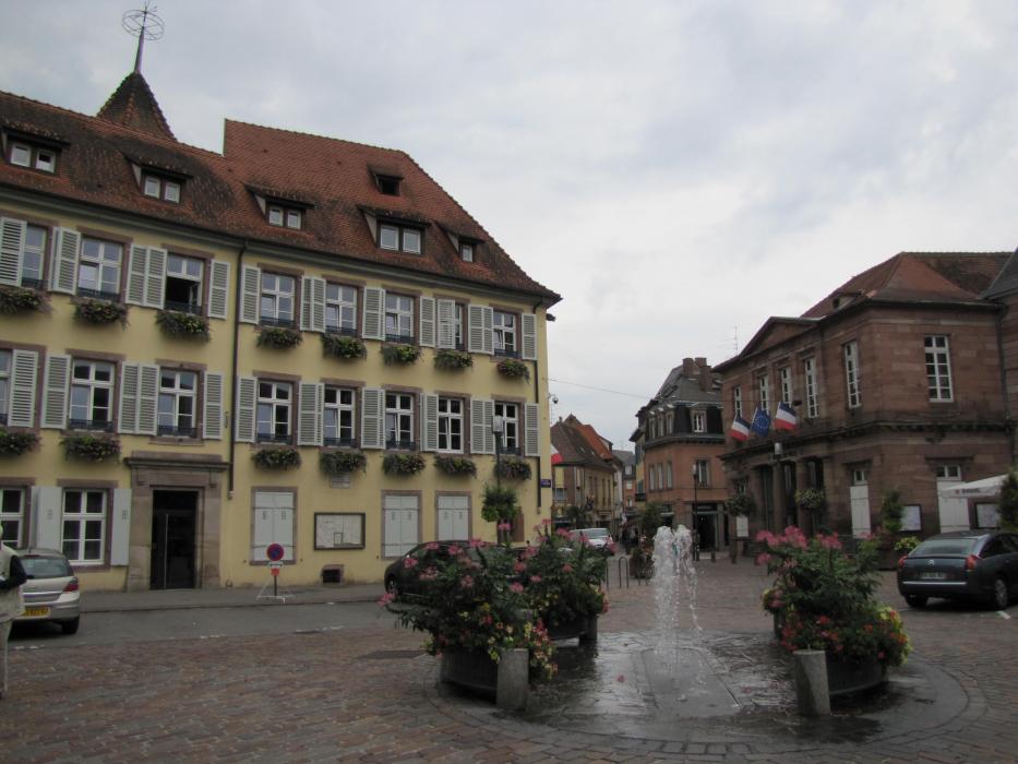


Map and nearest places
| Longitude | Latitude |
|---|---|
| 48.260277777777794 | 7.455 |
| 48°15'0"N | 7°27'0"E |
| Nearest places | ||
|---|---|---|
 | Chatenois | 4.2km |
 | Kintzheim | 4.3km |
 | Dambach-la-Ville | 7.4km |
 | Illhaeusern | 8.5km |
 | Bergheim | 9.1km |
 | Itterswiller | 11.7km |
| Colmar Airport | 18.1km | |
| Lahr - Black Forest Airport | 30.1km | |
| Strasbourg Airport | 34.3km | |
| Offenburg Airport | 40.6km | |
| Epinal - Mirecourt Airport | 58.8km | |
| Karlsruhe-Baden Airport | 73.8km | |
| John Paul II International Airport | 917.7km | |
| Tuuta Airport | 19,435.5km | |
Weblinks
Comments
You need to log in to add comment