


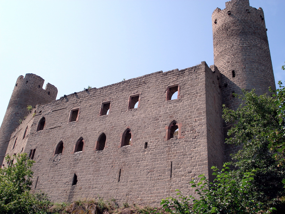
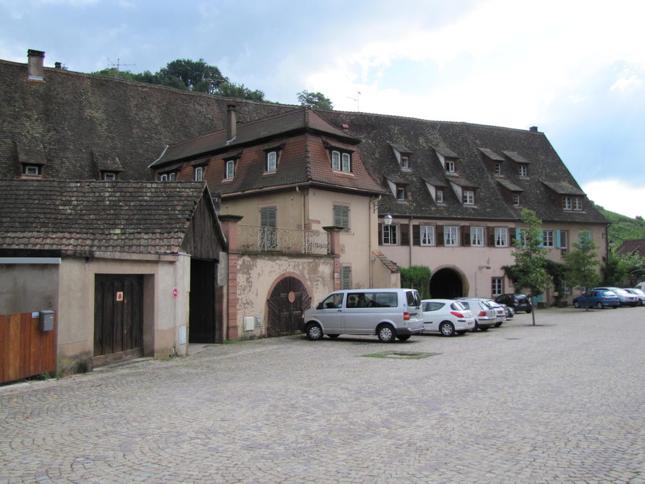
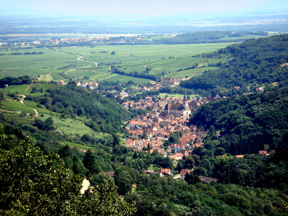
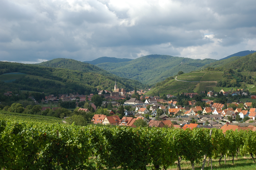
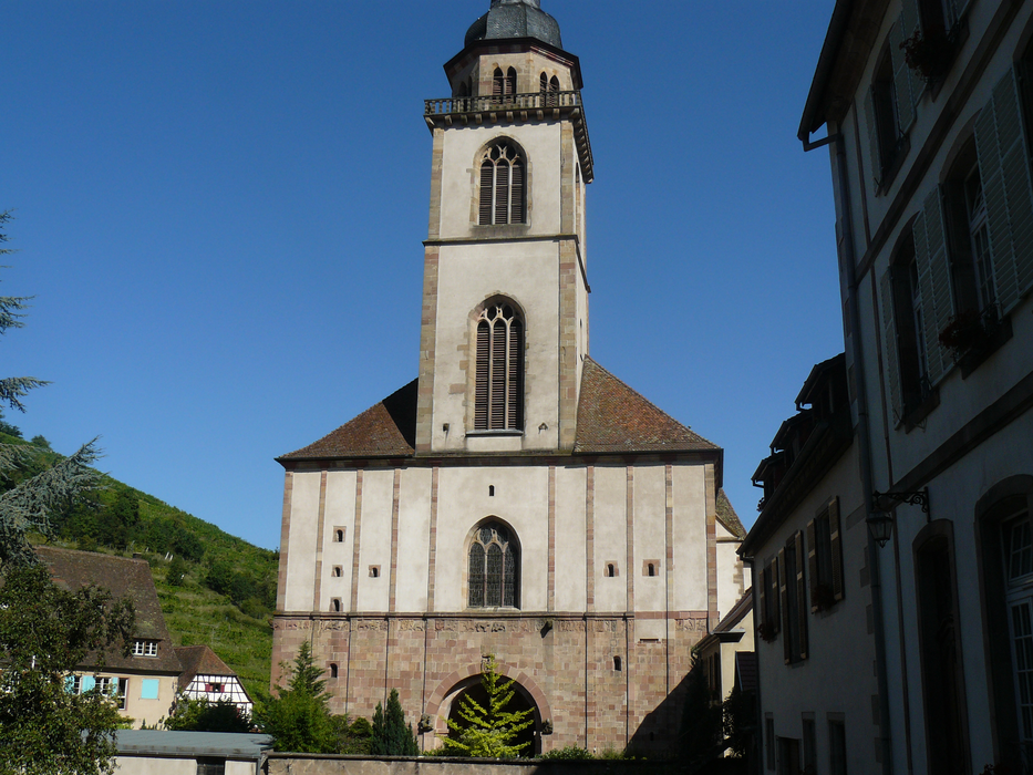
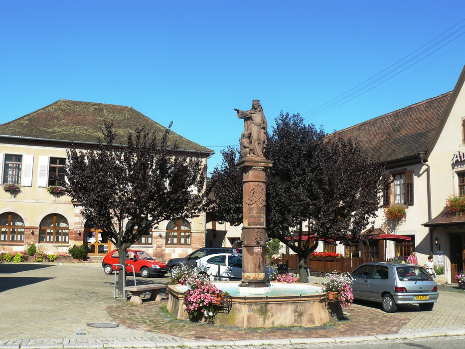
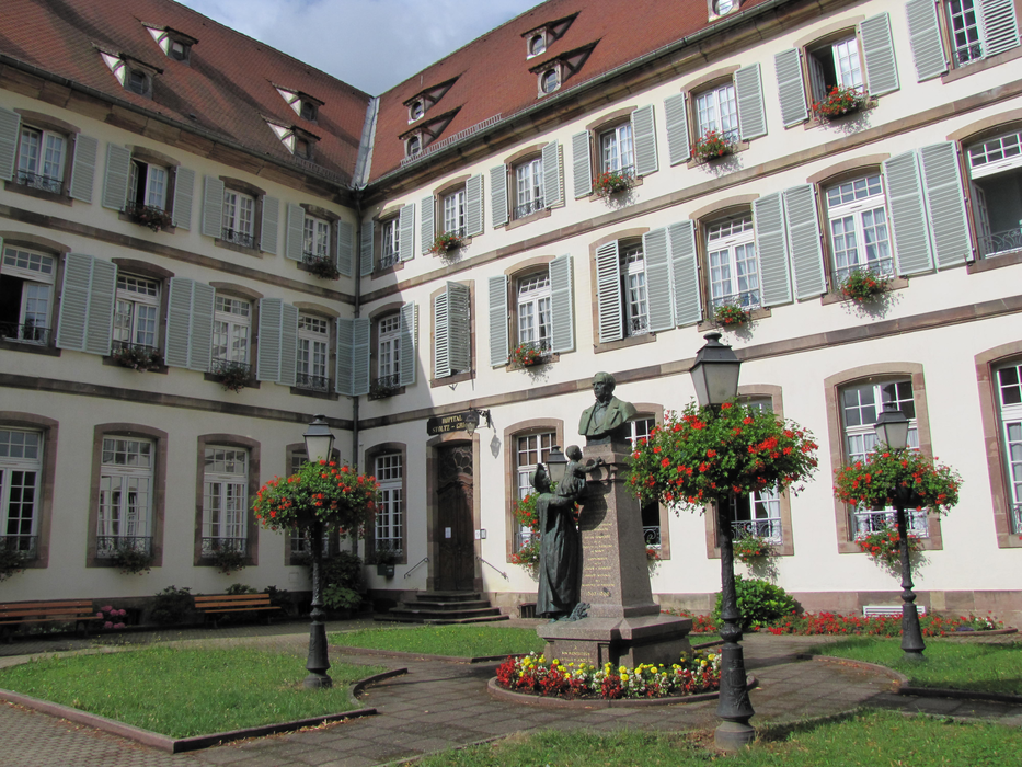
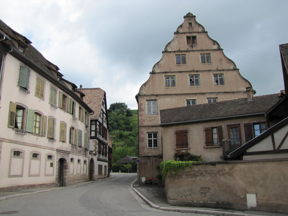
Gallery

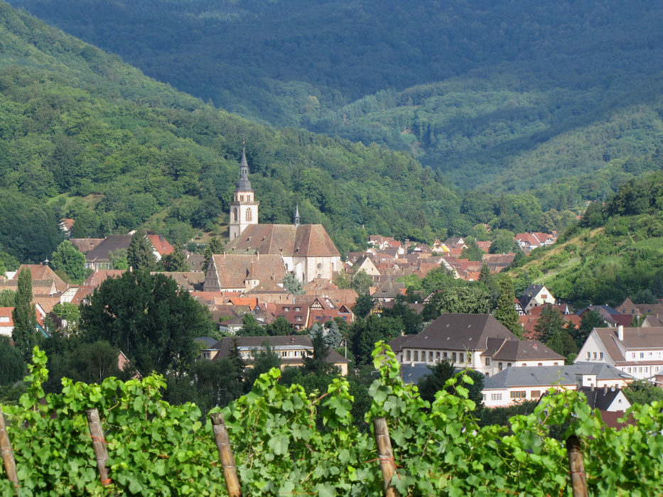


Map and nearest places
| Longitude | Latitude |
|---|---|
| 48.3872222222222 | 7.418611111111111 |
| 48°23'0"N | 7°25'0"E |
| Nearest places | ||
|---|---|---|
 | Mittelbergheim | 2.1km |
 | Itterswiller | 2.7km |
 | Barr | 3.4km |
| Le Hohwald | 6.8km | |
 | Dambach-la-Ville | 7.0km |
 | Ottrott | 8.0km |
| Strasbourg Airport | 23.7km | |
| Lahr - Black Forest Airport | 30.3km | |
| Colmar Airport | 31.1km | |
| Offenburg Airport | 38.0km | |
| Epinal - Mirecourt Airport | 56.0km | |
| Karlsruhe-Baden Airport | 65.3km | |
| John Paul II International Airport | 916.2km | |
| Tuuta Airport | 19,425.1km | |
Accomodation

Restaurants
Weblinks
Comments
You need to log in to add comment