


Gallery
_1794732105_700.jpg)
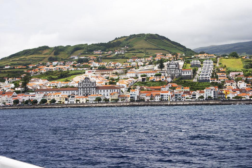


Map and nearest places
| Longitude | Latitude |
|---|---|
| 38.5330555555556 | -28.633055555555604 |
| 38°31'0"N | 28°37'0"W |
| Nearest places | ||
|---|---|---|
| Horta Airport | 7.3km | |
 | Madalena - Pico Island | 9.1km |
| Pico airport | 16.9km | |
 | Velas - Sao Jorge Island | 40.4km |
| Sao Jorge Airport | 42.4km | |
 | Santa Cruza da Graciosa | 79.0km |
| Graciosa Airport | 81.2km | |
| Lajes - Terceira Island | 135.1km | |
| Terceira Airport | 136.3km | |
 | Praia da Vitória - Tereceira Island | 137.9km |
 | Santa Cruz das Flores | 239.0km |
| Flores Airport | 239.0km | |
| John Paul II International Airport | 3,982.1km | |
| Mallacoota Airport | 19,837.2km | |
Accomodation
Airports
Weblinks
Comments
You need to log in to add comment