


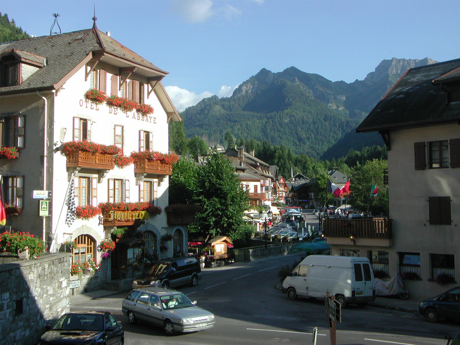
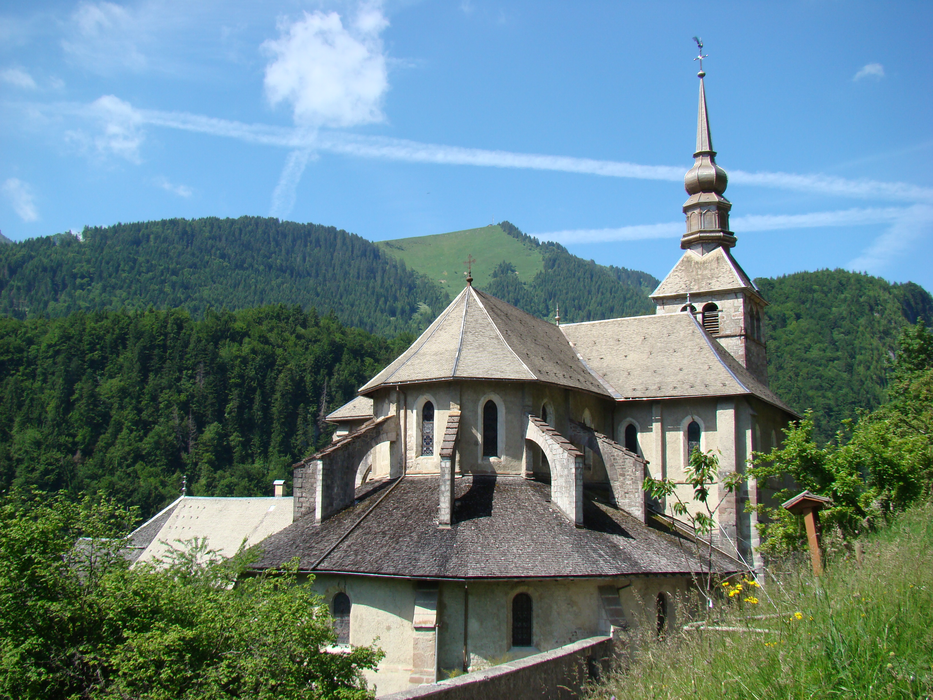
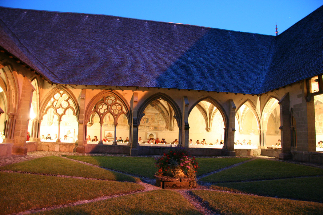


Map and nearest places
| Longitude | Latitude |
|---|---|
| 46.279722 | 6.722778 |
| 46°16'0"N | 6°43'0"E |
| Nearest places | ||
|---|---|---|
| Chatel | 9.2km | |
 | Morzine-Avoriaz | 11.3km |
 | Les Gets | 13.8km |
 | Champery | 15.4km |
| Monthey | 17.5km | |
 | Aigle | 19.2km |
| Bex Airport | 20.4km | |
| Sion Airport | 46.9km | |
| Geneva International Airport | 47.6km | |
| Annecy - Haute-Savoie - Mont Blanc Airport | 61.9km | |
| Aosta Airport | 78.2km | |
| Thun Airport | 85.6km | |
| John Paul II International Airport | 1,054.7km | |
| Tuuta Airport | 19,643.9km | |
Accomodation

Weblinks
Comments
You need to log in to add comment