


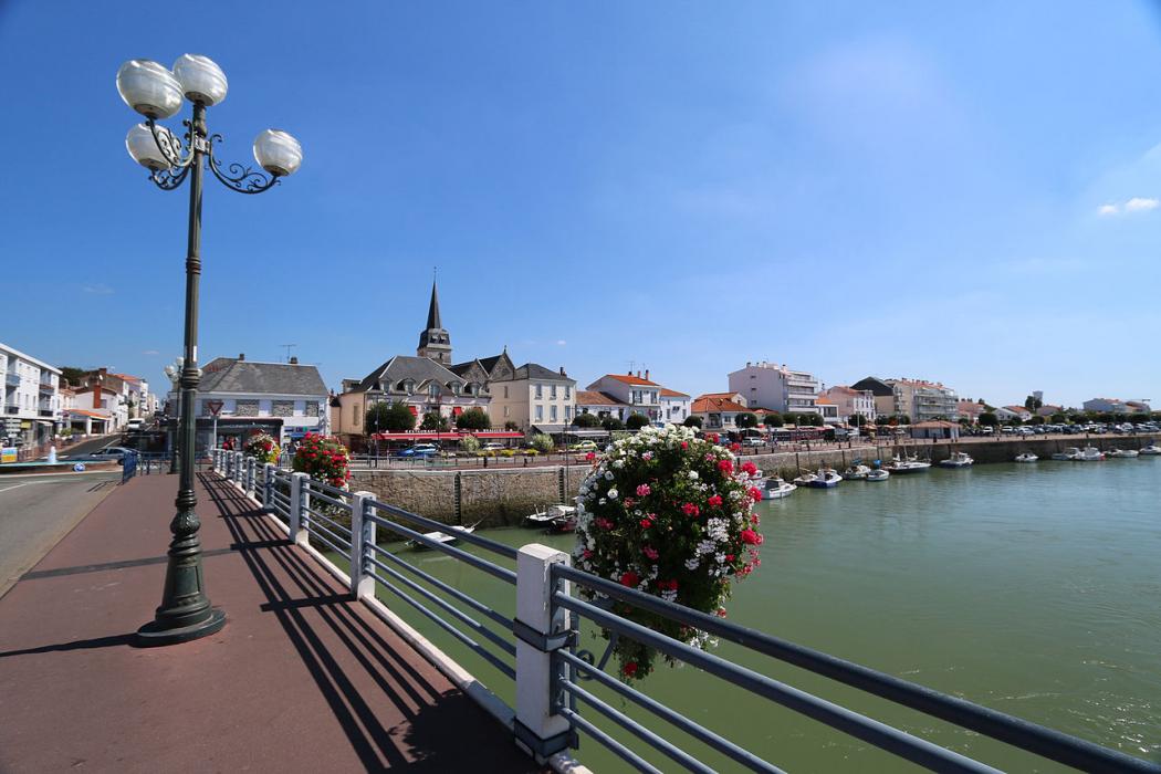
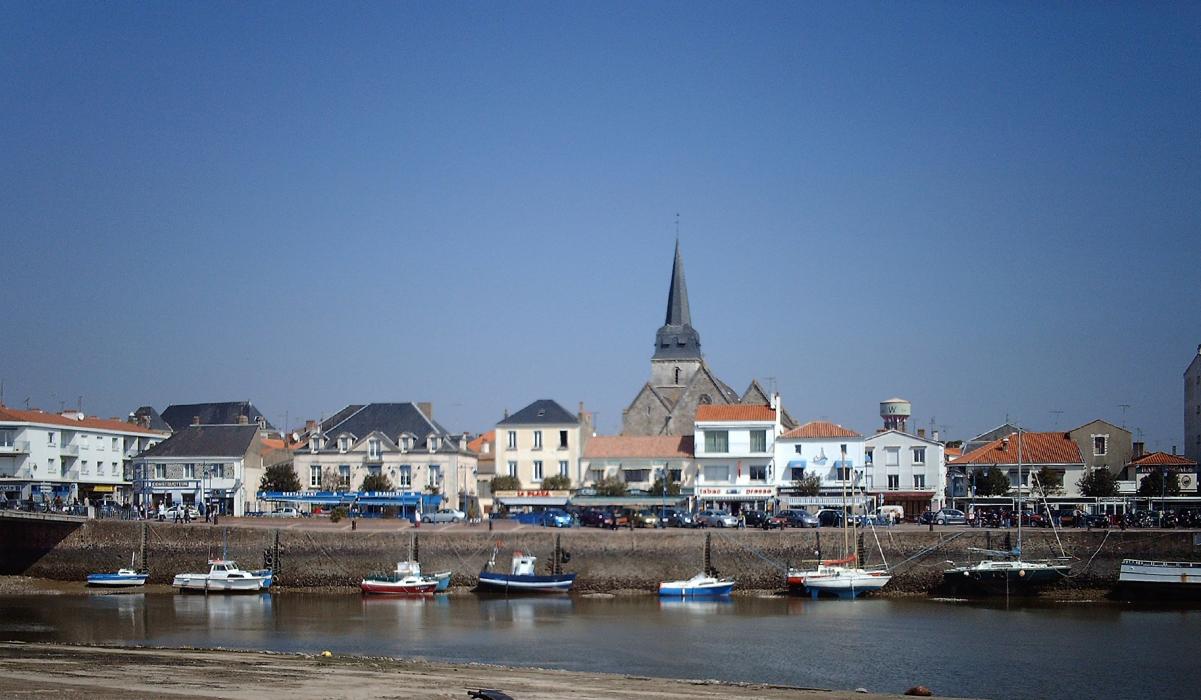


Map and nearest places
| Longitude | Latitude |
|---|---|
| 46.6983333333333 | -1.93944444444444 |
| 46°41'0"N | 1°56'0"W |
| Nearest places | ||
|---|---|---|
 | St-Jean-de-Monts | 14.0km |
 | Challans | 17.1km |
 | Les Sables-d'Olonne | 25.3km |
 | Ile d Yeu | 31.2km |
| Ile d'Yeu Aerodrome | 34.5km | |
 | Talmont Saint Hilaire | 36.5km |
 | La Roche-Sur-Yon | 39.3km |
| Less Ajoncs Airport | 42.8km | |
| Nantes Atlantique Airport | 56.4km | |
| St Nazaire Airport | 70.1km | |
| La Rochelle - Ile de Re Airport | 81.1km | |
| Cholet - Le Pontreau Airport | 91.3km | |
| John Paul II International Airport | 1,641.2km | |
| Tuuta Airport | 19,479.3km | |
Weblinks
Comments
You need to log in to add comment