


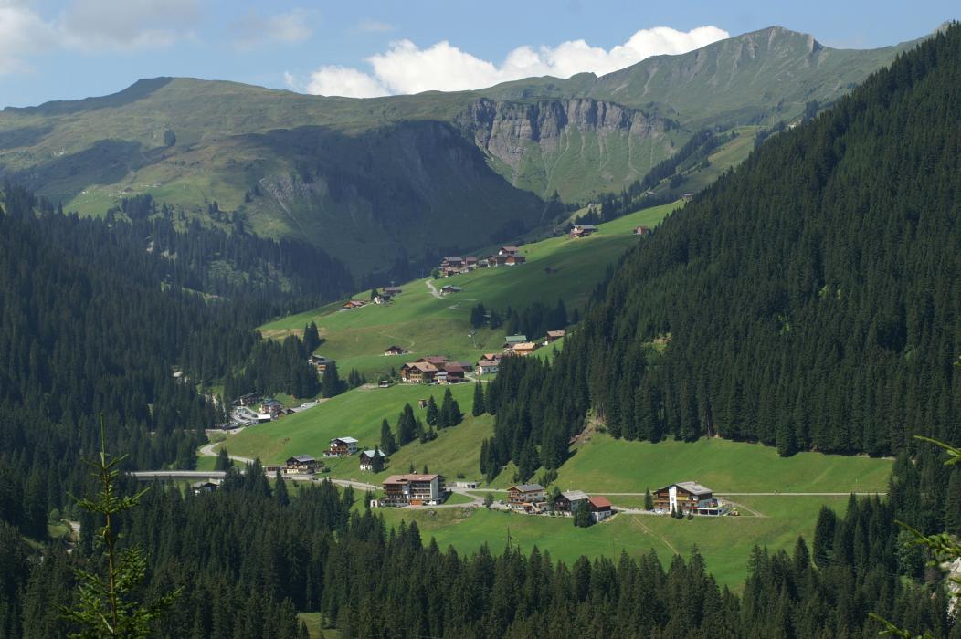
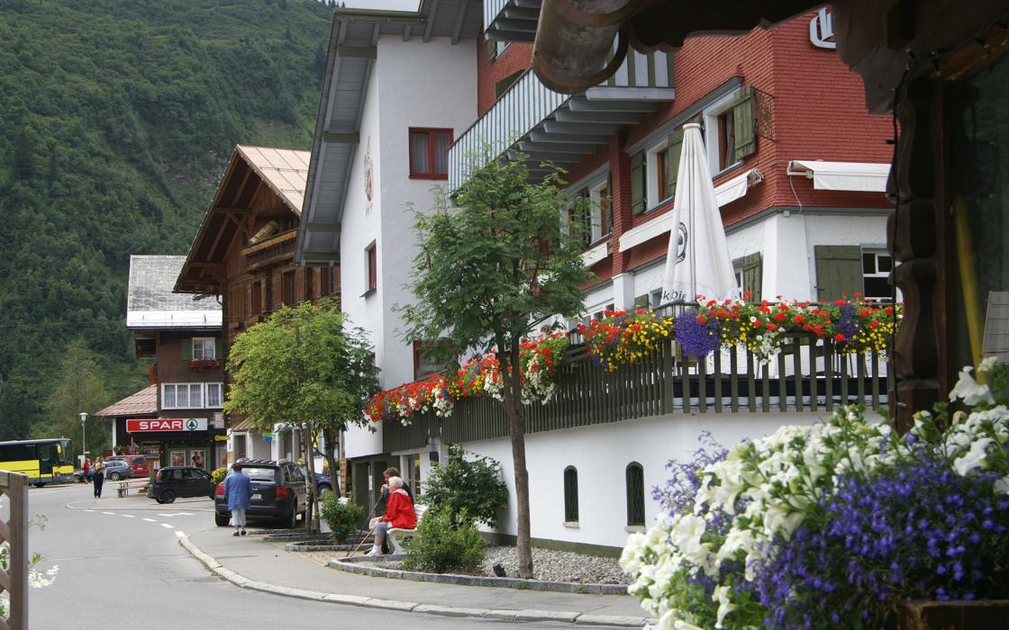
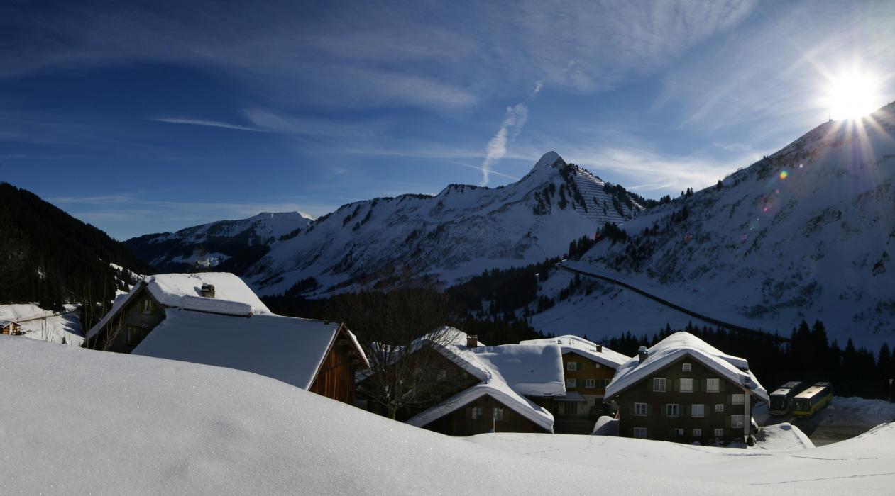
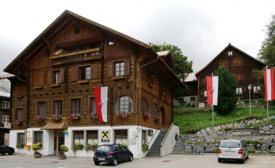
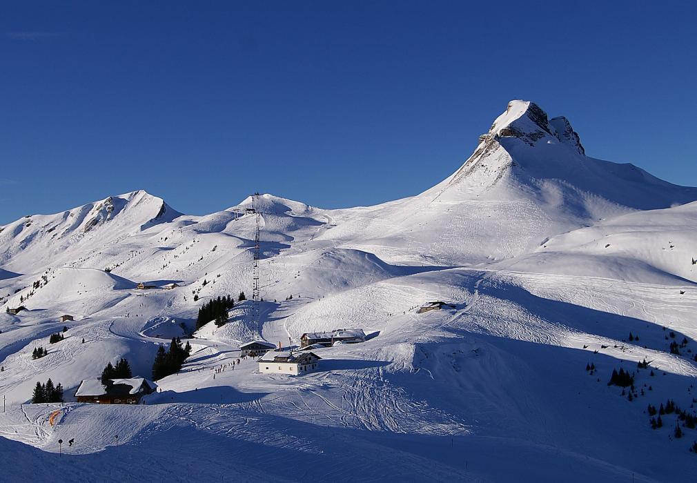


Map and nearest places
| Longitude | Latitude |
|---|---|
| 47.2830555555556 | 9.883055555555561 |
| 47°16'0"N | 9°52'0"E |
| Nearest places | ||
|---|---|---|
 | Au | 8.4km |
 | Schoppernau | 10.7km |
 | Andelsbuch | 14.5km |
 | Schwarzenberg | 14.7km |
 | Schr�cken | 15.6km |
 | Egg | 16.6km |
| Hohenems-Dornbirn Airport | 17.8km | |
| Altenrhein - St Gallen Airport | 33.1km | |
| Friedrishafen Airport | 51.3km | |
| Reutte Airport | 64.8km | |
| Lommis Airport | 71.5km | |
| Memmingen Airport | 82.9km | |
| John Paul II International Airport | 789.8km | |
| Tuuta Airport | 19,388.6km | |
Accomodation

Weblinks
Comments
You need to log in to add comment