


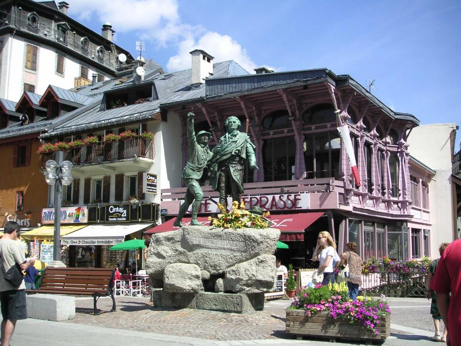
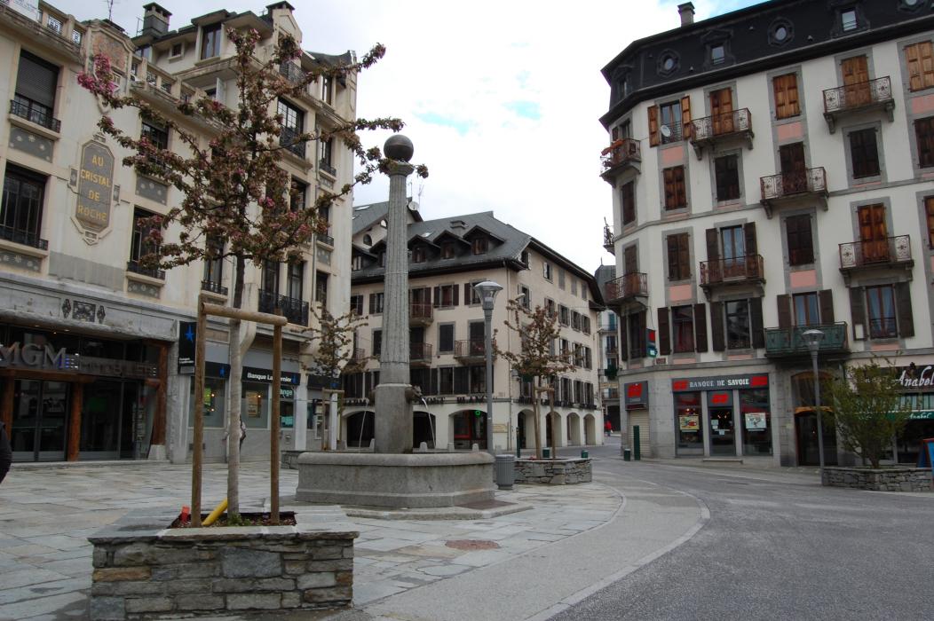
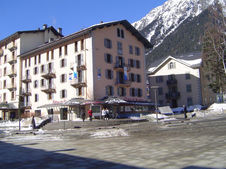
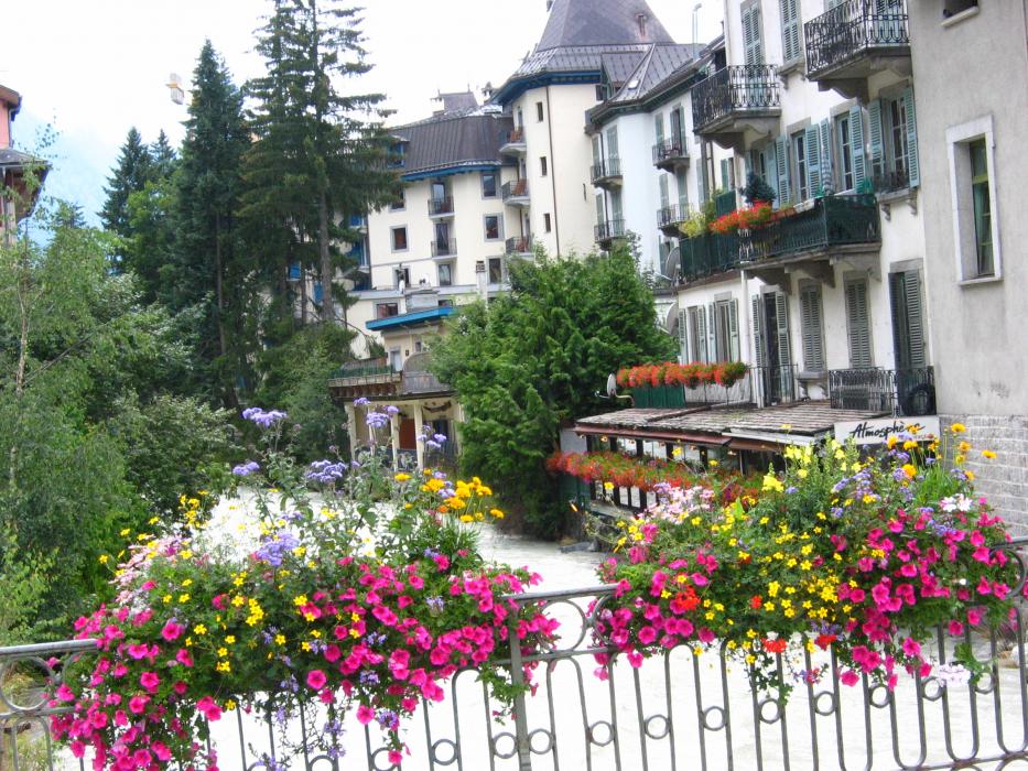
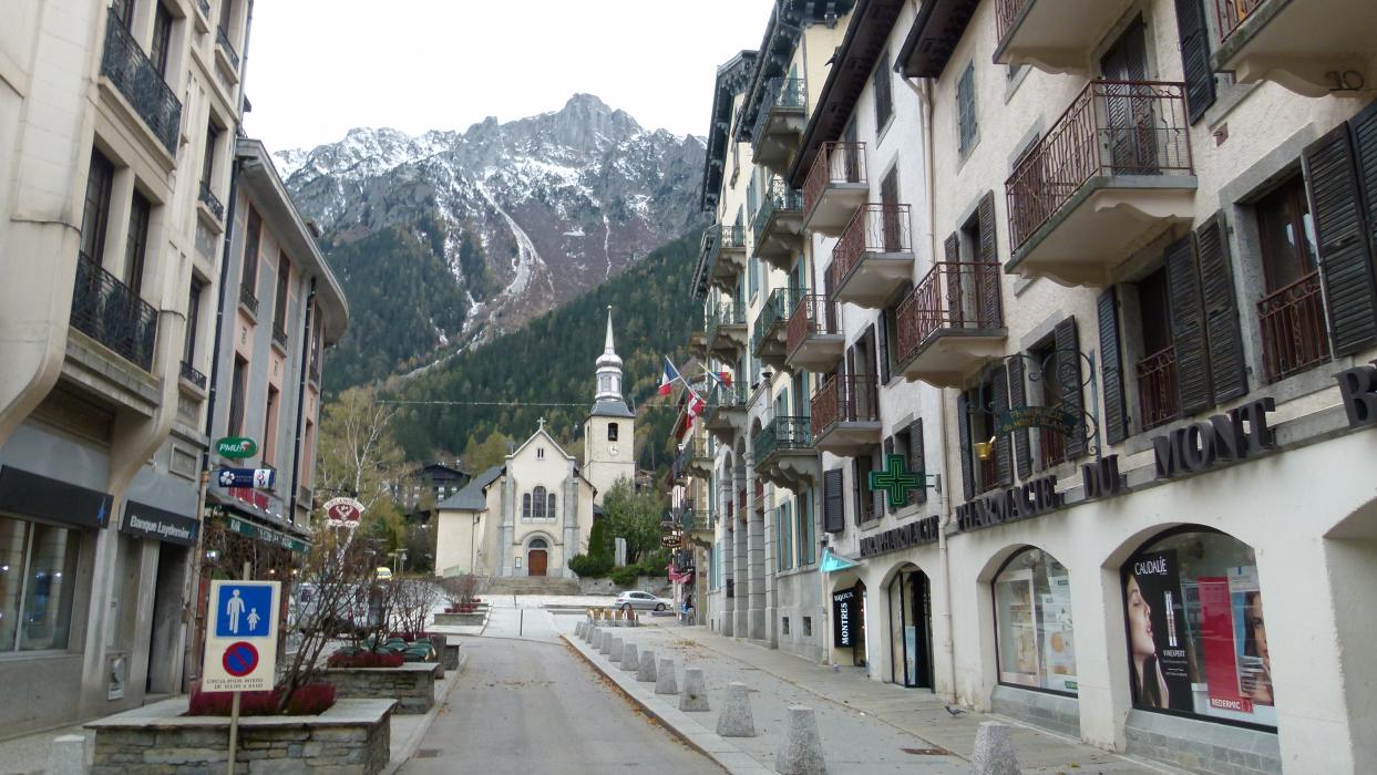
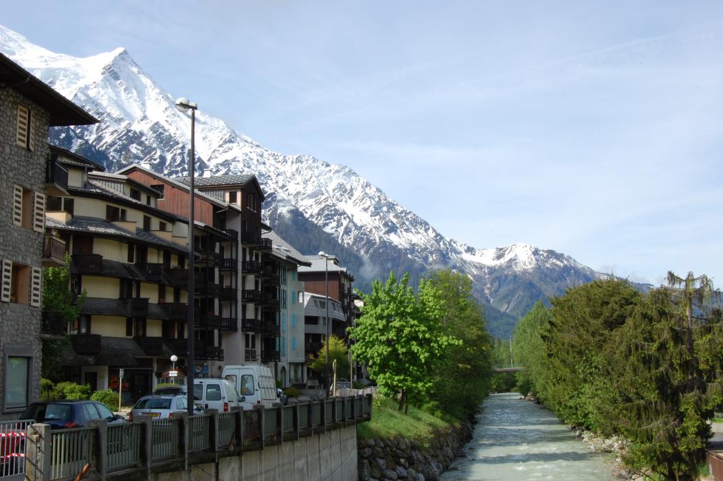
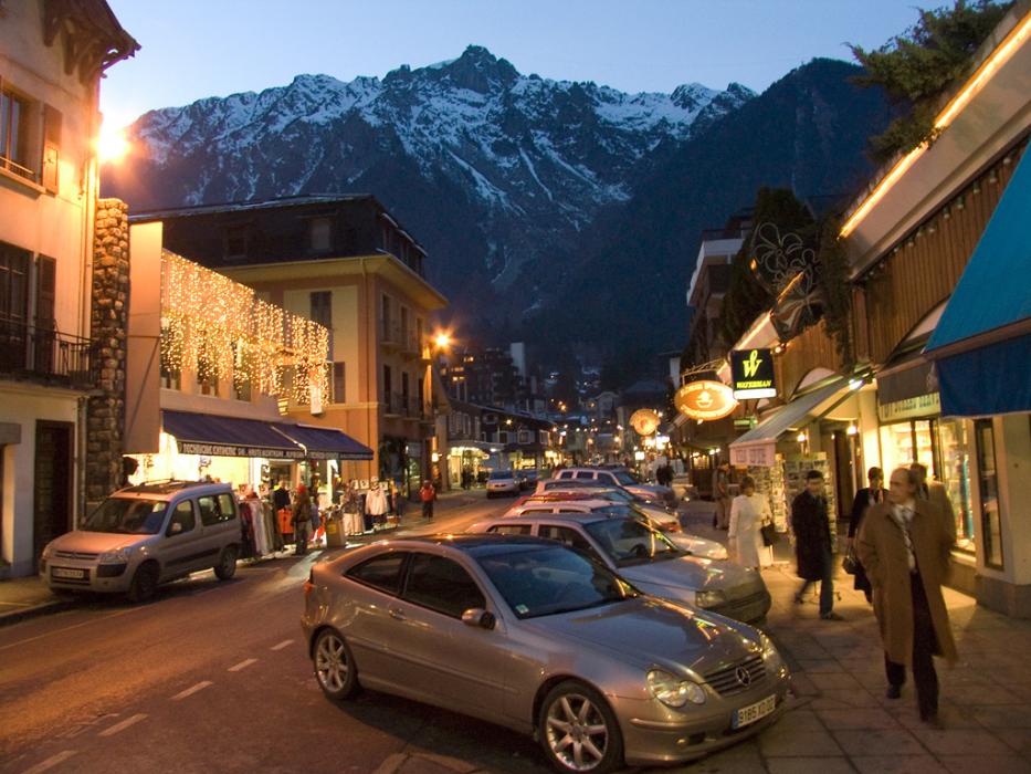
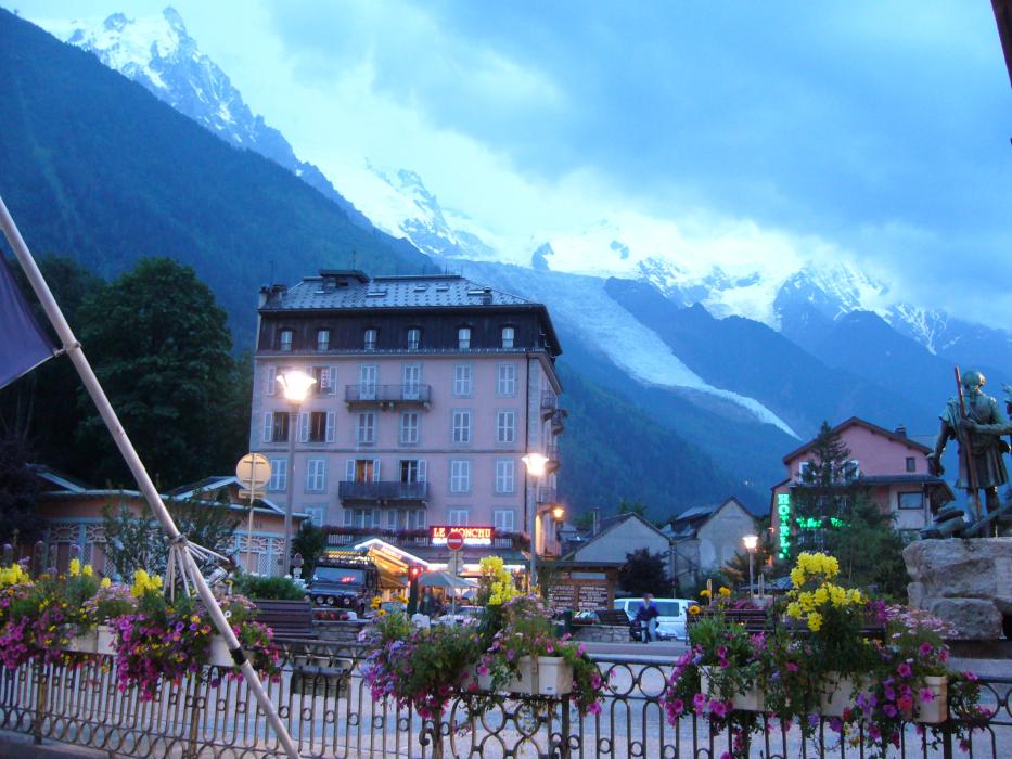
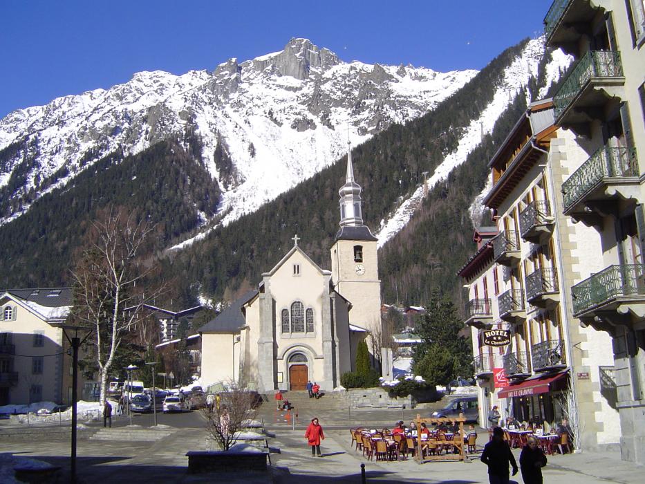
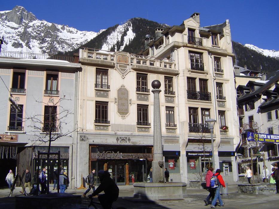
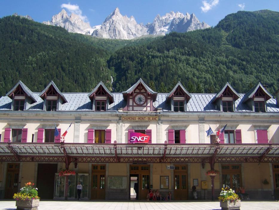
Gallery


Map and nearest places
| Longitude | Latitude |
|---|---|
| 45.9230555555555 | 6.8697222222222205 |
| 45°55'0"N | 6°52'0"E |
| Nearest places | ||
|---|---|---|
 | Les Houches | 6.5km |
 | St. Gervais les Bains | 12.5km |
 | Courmayeur | 17.3km |
 | Combloux | 17.9km |
 | Champex | 18.2km |
 | Pre-Saint-Didier | 19.5km |
| Bex Airport | 38.5km | |
| Aosta Airport | 43.8km | |
| Sion Airport | 48.3km | |
| Annecy - Haute-Savoie - Mont Blanc Airport | 59.6km | |
| Courchevel Airport | 61.3km | |
| Geneva International Airport | 68.4km | |
| John Paul II International Airport | 1,064.3km | |
| Tuuta Airport | 19,663.1km | |
Accomodation

Restaurants
Breweries
Weblinks
Comments
You need to log in to add comment