


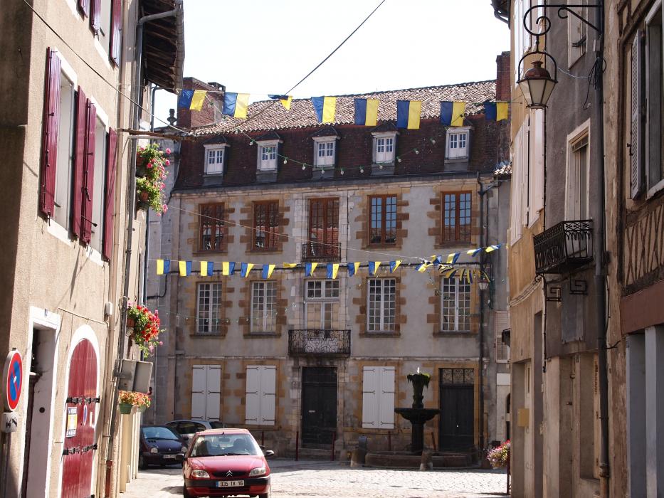
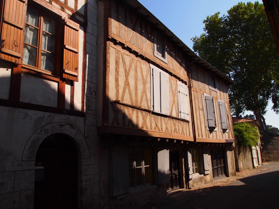
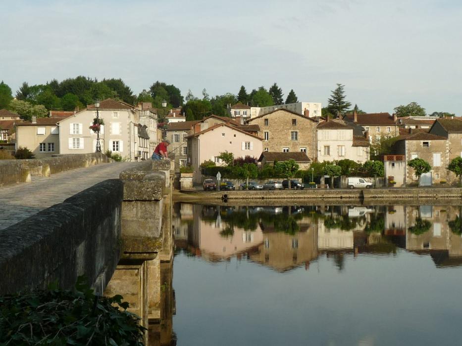
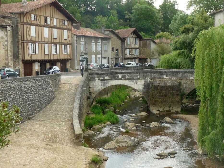
Gallery


Map and nearest places
| Longitude | Latitude |
|---|---|
| 46.0144444444444 | -0.673333333333333 |
| 46°0'0"N | 0°40'0"W |
| Nearest places | ||
|---|---|---|
 | Saint Jean d'Angely | 13.4km |
 | Rochefort | 23.5km |
| St Agnant Airport | 27.6km | |
 | Fouras | 32.6km |
 | Chatelaillon-Plage | 32.6km |
| Coulon | 35.1km | |
 | Niort | 38.3km |
| La Rochelle - Ile de Re Airport | 44.2km | |
| Medis Airport | 48.6km | |
| Angouleme - Brie - Champniers Airport | 76.0km | |
| Less Ajoncs Airport | 93.7km | |
| Poitiers - Biard Airport | 98.7km | |
| John Paul II International Airport | 1,580.8km | |
| Tuuta Airport | 19,602.5km | |
Weblinks
Comments
You need to log in to add comment