


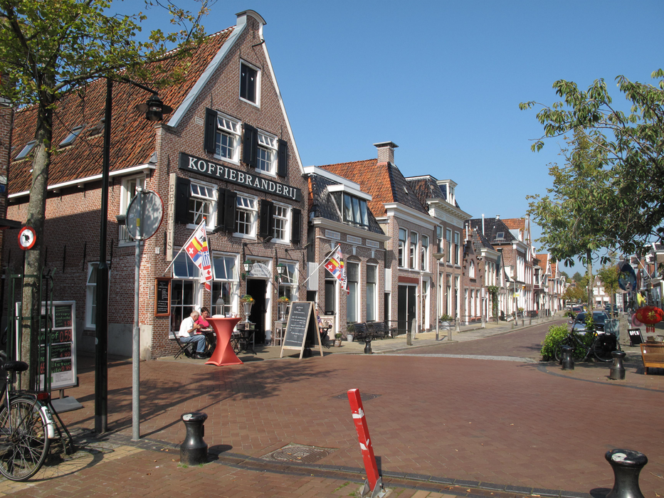
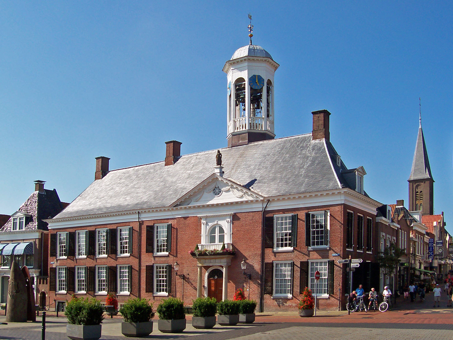
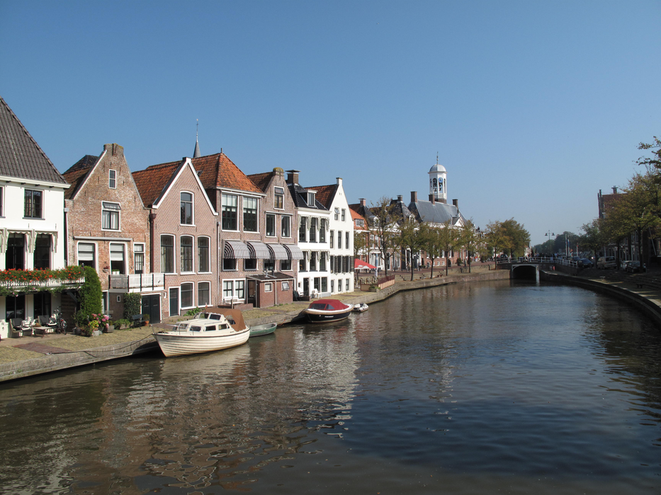
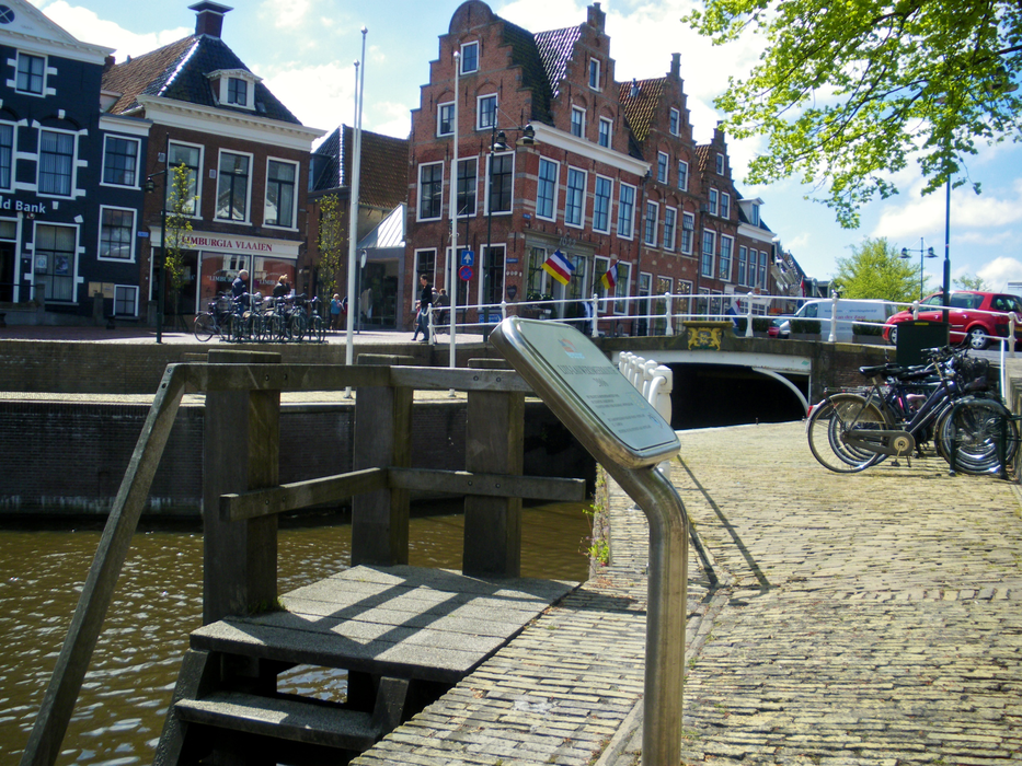
Gallery


Map and nearest places
| Longitude | Latitude |
|---|---|
| 53.3333333333333 | 6 |
| 53°19'0"N | 6°0'0"E |
| Nearest places | ||
|---|---|---|
 | Ameland | 18.7km |
 | Leeuwarden | 19.9km |
| Ameland Airport | 25.1km | |
 | Drachten | 26.8km |
 | Franeker | 34.4km |
 | Groningen | 39.8km |
 | Sneek | 40.1km |
| Groningen Airport Eelde | 45.3km | |
| Borkum Airport | 55.3km | |
| Juist Airport | 79.8km | |
| Texel International Airport | 81.3km | |
| Emden Airport | 81.7km | |
| John Paul II International Airport | 1,014.5km | |
| Tuuta Airport | 18,941.0km | |
Accomodation
Weblinks
Comments
You need to log in to add comment