


_1826489489_700.jpg)


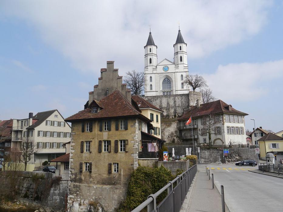
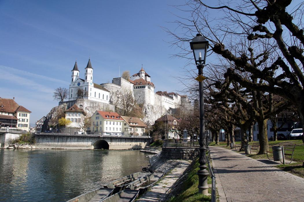
Map and nearest places
| Longitude | Latitude |
|---|---|
| 47.3166666666667 | 7.9 |
| 47°19'0"N | 7°54'0"E |
| Nearest places | ||
|---|---|---|
 | Olten | 3.7km |
 | Zofingen | 4.5km |
| Langenthal | 14.2km | |
 | Aarau | 14.6km |
| Sissach | 17.8km | |
| Liestal | 20.9km | |
| Fricktal-Schupfart Airport | 21.7km | |
| Luzern Airport | 27.0km | |
| Birrfeld Airfield | 28.8km | |
| Buttwil Airport | 30.9km | |
| Grenhen Airport | 39.5km | |
| EuroAirport Basel-Mulhouse-Freiburg | 41.2km | |
| John Paul II International Airport | 923.5km | |
| Tuuta Airport | 19,498.4km | |
Accomodation
Restaurants
Weblinks
Comments
You need to log in to add comment