


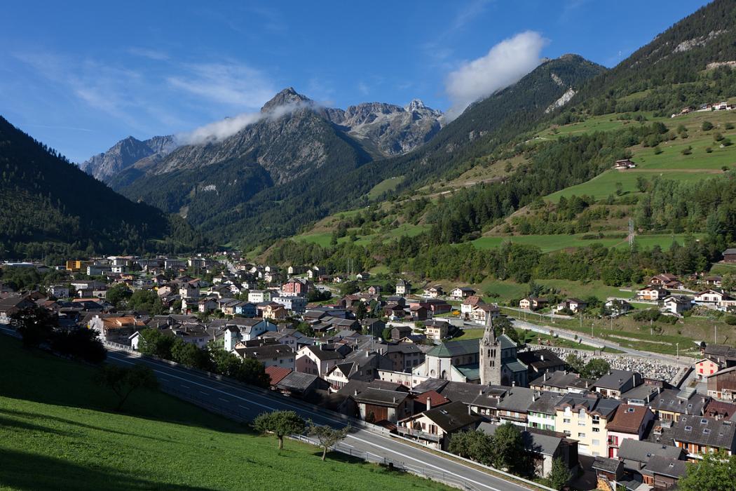
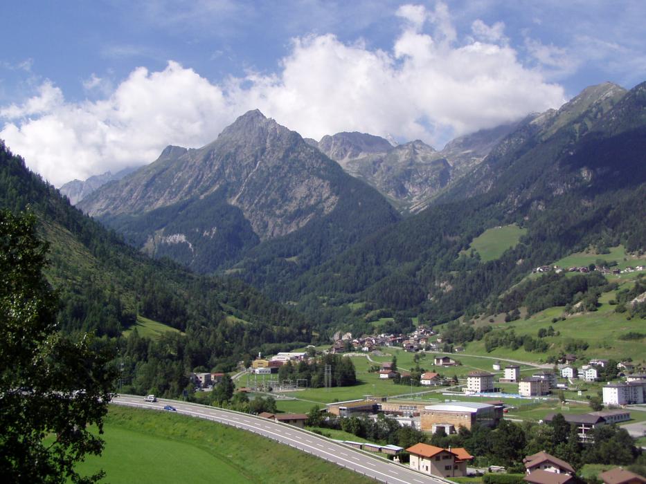


Map and nearest places
| Longitude | Latitude |
|---|---|
| 46.033333 | 7.15 |
| 46°1'0"N | 7°9'0"E |
| Nearest places | ||
|---|---|---|
 | Champex | 6.9km |
| Verbier | 9.0km | |
 | Martigny | 9.5km |
| Ovronnaz | 18.8km | |
 | Nendaz | 20.3km |
 | Saint-Rhémy-en-Bosses | 22.4km |
| Sion Airport | 24.8km | |
| Bex Airport | 28.2km | |
| Aosta Airport | 36.9km | |
| Courchevel Airport | 81.4km | |
| Annecy - Haute-Savoie - Mont Blanc Airport | 82.1km | |
| Geneva International Airport | 83.5km | |
| John Paul II International Airport | 1,039.4km | |
| Tuuta Airport | 19,638.6km | |
Accomodation
Restaurants
Weblinks
Comments
You need to log in to add comment