


_1208158691_700.jpg)
_1579112775_700.jpg)
_482348382_700.jpg)
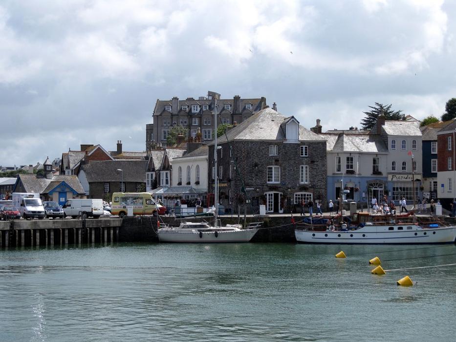


Map and nearest places
| Longitude | Latitude |
|---|---|
| 50.5333333333333 | -4.93333333333333 |
| 50°31'0"N | 4°55'0"W |
| Nearest places | ||
|---|---|---|
| Port Isaac | 9.8km | |
| Mawgan Porth | 10.2km | |
| Newquay Cornwall International Airport | 11.2km | |
| Newquay | 16.8km | |
| Bodmin | 17.0km | |
| Tintagel | 19.7km | |
| Camelford | 19.9km | |
| Perranporth Airfield | 28.3km | |
| Plymouth City Airport | 59.8km | |
| Penzance Heliport | 61.3km | |
| Predannack Airfield | 63.0km | |
| Land's End Airport | 70.9km | |
| John Paul II International Airport | 1,748.1km | |
| Dunedin International Airport | 19,389.1km | |
Accomodation

Restaurants
Golfs club
Breweries
Weblinks
Comments
You need to log in to add comment