


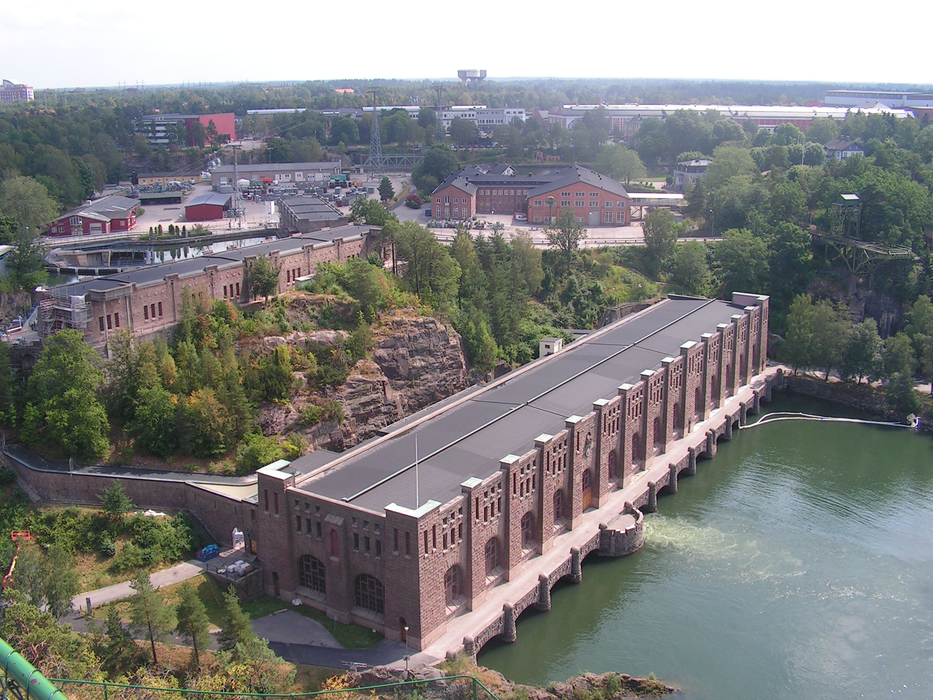
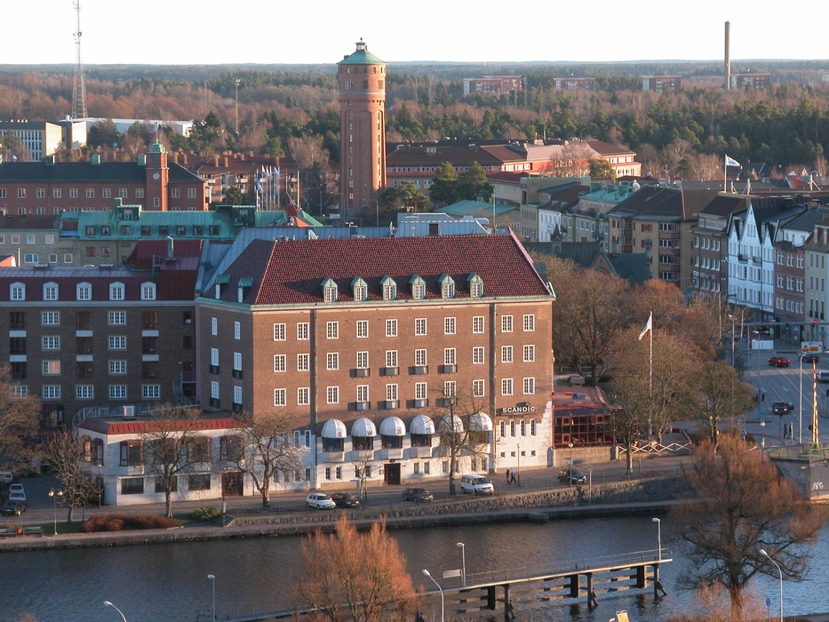


Map and nearest places
| Longitude | Latitude |
|---|---|
| 58.2833333333333 | 12.2833333333333 |
| 58°16'0"N | 12°16'0"E |
| Nearest places | ||
|---|---|---|
| Trollhattan Vanersborgs Airport | 5.5km | |
| V�nersborg | 11.3km | |
| Uddevalla | 21.7km | |
| Stenungsund | 35.3km | |
| Alingsås | 41.6km | |
| Kungalv | 49.6km | |
| Lysekil | 49.7km | |
| Lidk�ping Airport | 55.8km | |
| Gothenburg City Airport | 61.6km | |
| Gothenburg-Landvetter Airport | 69.3km | |
| Skovde Airport | 100.4km | |
| Jonkoping Airport | 120.4km | |
| John Paul II International Airport | 1,033.4km | |
| Tuuta Airport | 18,297.0km | |
Accomodation

Restaurants
Museums
Airports
Weblinks
Comments
You need to log in to add comment