


Gallery


Map and nearest places
| Longitude | Latitude |
|---|---|
| 45.8644444444444 | -77.25166666666671 |
| 45°51'0"N | 77°15'0"W |
| Nearest places | ||
|---|---|---|
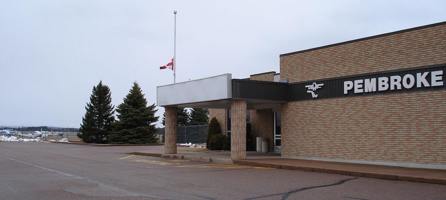
| Pembroke | 11.7km | |
| Cobden | 39.0km | |
| Mont Tremblant International Airport | 70.7km | |
| Arnprior | 83.9km | |
| Arnprior Airport | 85.2km | |
| Bancroft | 101.9km | |
| Ottawa/Carp Airport | 113.1km | |
| Mattawa | 122.5km | |
| Haliburton | 130.5km | |
| Gatineau-Ottawa Executive Airport | 136.5km | |
| Ottawa International Airport | 137.1km | |
| Smiths Falls-Montague Airport | 144.6km | |
| John Paul II International Airport | 6,703.5km | |
| Busselton Regional Airport | 18,287.6km | |
General informations
| ICAO | CYTA |
| IATA | YTA |
Weblinks
Comments
You need to log in to add comment