


Gallery


Map and nearest places
| Longitude | Latitude |
|---|---|
| 68.77722222222219 | -81.2241666666667 |
| 68°46'0"N | 81°13'0"W |
| Nearest places | ||
|---|---|---|
| Hall Beach Airport | 0.8km | |
| Igloolik Airport | 69.4km | |
| Igloolik | 70.4km | |
| Repulse Bay Airport | 327.9km | |
| Repulse Bay | 328.1km | |
| Kugaaruk Airport | 348.2km | |
| Kugaaruk | 348.9km | |
| Pond Inlet Airport | 450.3km | |
| Pond Inlet | 452.1km | |
| Nanisivik Airport | 483.4km | |
| Nanisivik | 488.3km | |
| Taloyoak | 493.1km | |
| John Paul II International Airport | 5,325.2km | |
| Albany Airport | 16,071.2km | |
Accomodation
Airports
Weblinks
Comments
On 07-01-2022 17:43 Jerzy said:
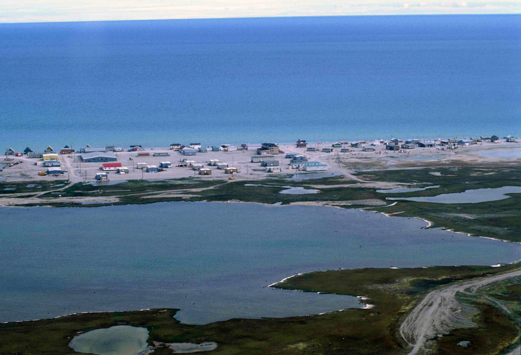
Sanirajak , formerly known as Hall Beach
You need to log in to add comment
Sanirajak , formerly known as Hall Beach
You need to log in to add comment