


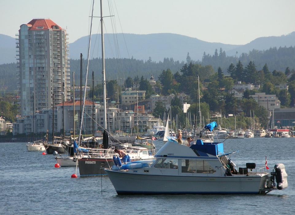
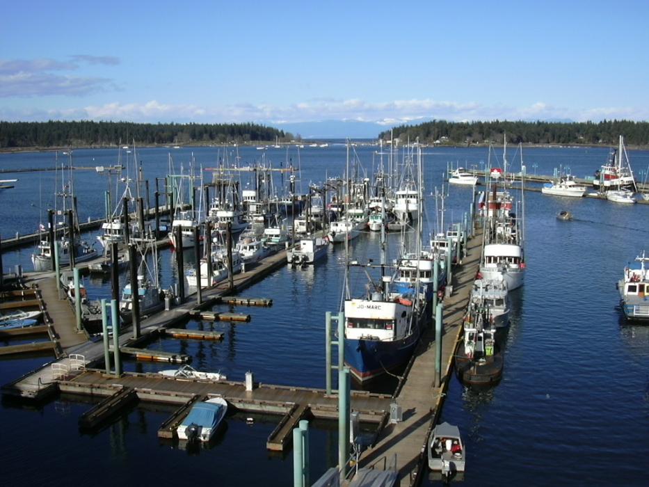
Gallery


Map and nearest places
| Longitude | Latitude |
|---|---|
| 49.164166666666695 | -123.936388888889 |
| 49°9'0"N | 123°56'0"W |
| Nearest places | ||
|---|---|---|
| Nanaimo Airport | 13.1km | |
| Parksville | 32.0km | |
| Sechelt-Gibsons Airport | 36.5km | |
| Schelet | 36.9km | |
| Qualicum Beach Airport | 38.4km | |
| Lake Cowichan | 38.6km | |
| Gibsons | 41.1km | |
| Qualicum Beach | 41.6km | |
| Duncan | 46.0km | |
| Duncan Airport | 47.9km | |
| Vancouver International Airport | 56.0km | |
| Victoria International Airport | 68.3km | |
| John Paul II International Airport | 8,450.6km | |
| Tolagnaro Airport | 17,218.2km | |
Accomodation
Restaurants
Golfs club
Spirits Distillery
Airports

Weblinks
Comments
You need to log in to add comment