


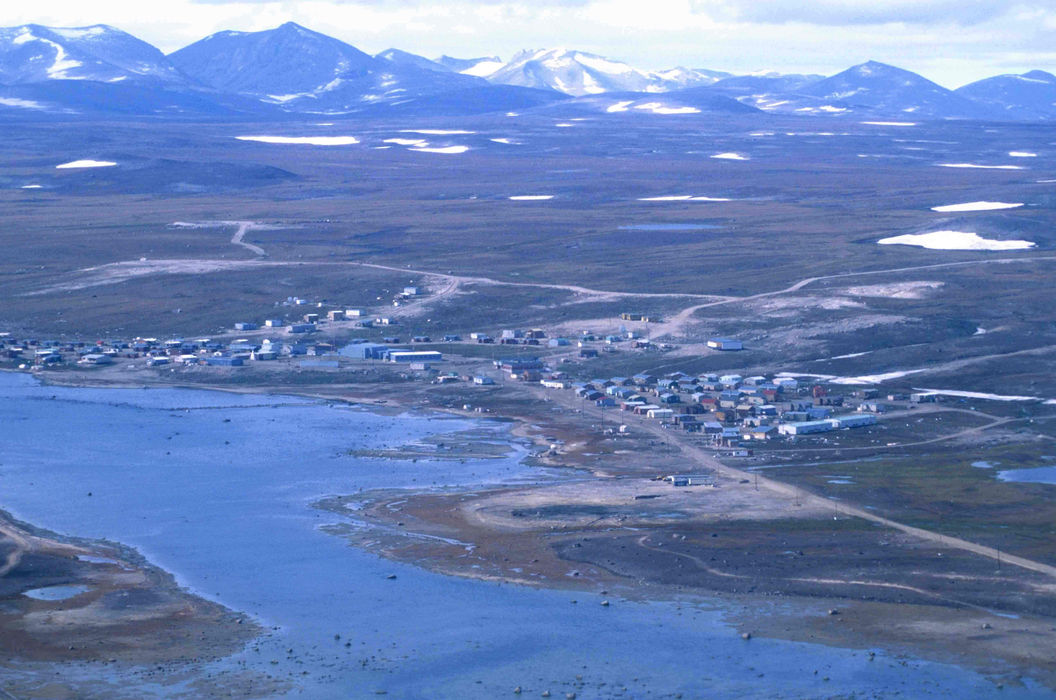
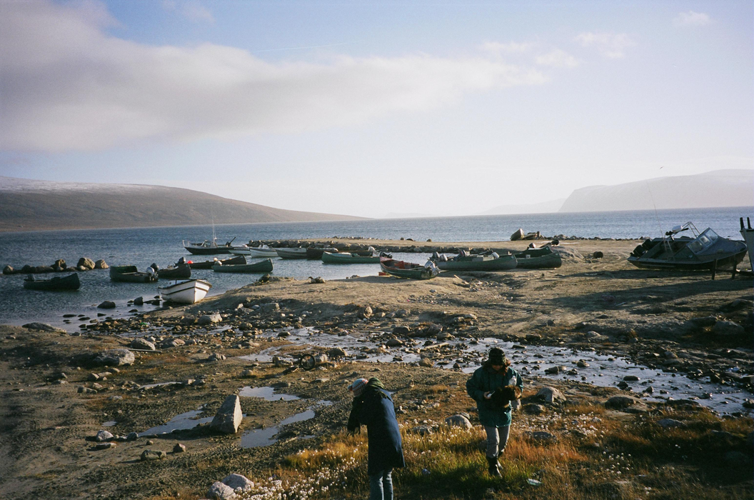
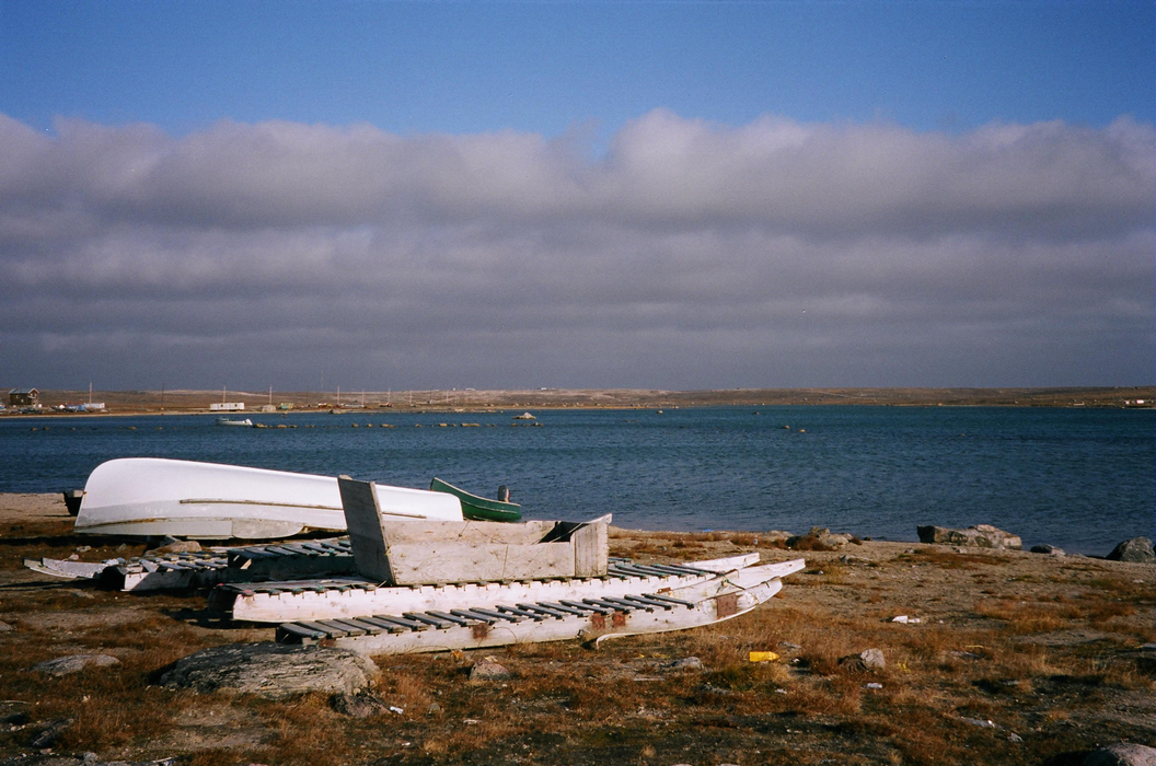


Map and nearest places
| Longitude | Latitude |
|---|---|
| 70.47388888888891 | -68.5861111111111 |
| 70°28'0"N | 68°35'0"W |
| Nearest places | ||
|---|---|---|
| Clyde River Airport | 2.9km | |
| Qikiqtarjuaq | 371.2km | |
| Qikiqtarjuaq Airport | 372.5km | |
| Pond Inlet Airport | 410.4km | |
| Pond Inlet | 411.1km | |
| Pangnirtung | 495.3km | |
| Pangnirtung Airport | 495.5km | |
| Upernavik | 504.7km | |
| Upernavik Airport | 505.4km | |
| Kangersuatsiaq Heliport | 507.1km | |
| Igloolik | 517.8km | |
| Hall Beach | 523.2km | |
| John Paul II International Airport | 4,804.2km | |
| Hobart International Airport | 16,347.7km | |
Accomodation
Restaurants
Airports
Weblinks
Comments
You need to log in to add comment