


Gallery
_69403045_700.jpg)
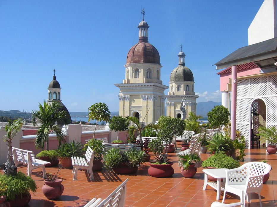


Map and nearest places
| Longitude | Latitude |
|---|---|
| 20.0198 | -75.813917 |
| 20°1'0"N | 75°48'0"W |
| Nearest places | ||
|---|---|---|
| Antonio Maceo Airport | 6.0km | |
| Guant�namo | 64.0km | |
| Frank Pais Airport | 99.9km | |
 | Holugin | 107.1km |
| Baracoa | 140.9km | |
| Gustavo Rizo Airport | 141.8km | |
| Port Antonio | 214.6km | |
| Ken Jones Airport | 216.2km | |
| Boscobel Airport | 216.7km | |
| Ocho Rios | 224.7km | |
| Jeremie Airport | 229.1km | |
| Jeremie | 234.3km | |
| John Paul II International Airport | 8,700.5km | |
| Learmonth Airport | 18,959.1km | |
Accomodation
Airports
Weblinks
Comments
You need to log in to add comment