


Gallery


Map and nearest places
| Longitude | Latitude |
|---|---|
| 20.785555555555604 | -76.315 |
| 20°47'0"N | 76°18'0"W |
| Nearest places | ||
|---|---|---|
 | Holugin | 12.9km |
 | Santiago de Cuba | 99.9km |
| Antonio Maceo Airport | 103.6km | |
| Guantánamo | 135.5km | |
| DUNCAN TOWN Airport | 166.7km | |
| Duncan Town - Ragged Island | 168.3km | |
| Ignacio Agramonte International Airport | 173.9km | |
 | Camaguey | 178.1km |
| Gustavo Rizo Airport | 194.0km | |
| Baracoa | 194.0km | |
| Boscobel Airport | 273.5km | |
| Inagua Airport | 275.9km | |
| John Paul II International Airport | 8,670.0km | |
| Learmonth Airport | 18,927.1km | |
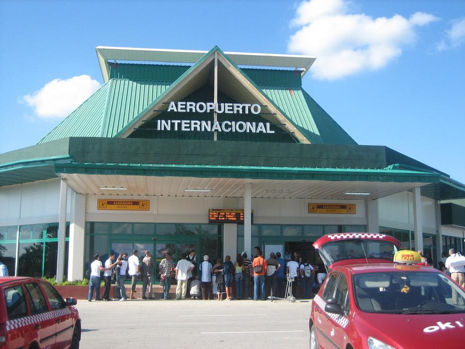
General informations
| Airport type | Regional international airport |
| ICAO | MUHG |
| IATA | HOG |
| Elevation | 361 ft / 110 m MSL |
| Year | Pax |
|---|---|
| 2000 | 229007 |
Weblinks
Comments
You need to log in to add comment