


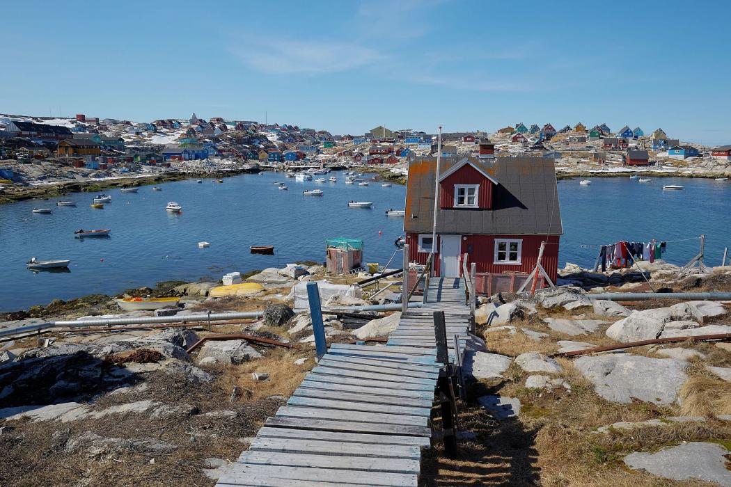
Gallery


Map and nearest places
| Longitude | Latitude |
|---|---|
| 68.7097222222222 | -52.869444444444404 |
| 68°42'0"N | 52°52'0"W |
| Nearest places | ||
|---|---|---|
| Aasiaat Airport | 3.7km | |
 | Qeqertarsuaq | 61.3km |
| Qeqertarsuaq Heliport | 65.8km | |
| Qasigiannguit Heliport | 69.3km | |
 | Qasigiannguit | 72.9km |
 | Ilulissat | 90.4km |
| Ilulissat Airport | 93.5km | |
| Sisimiut Airport | 198.8km | |
| Sisimiut | 199.8km | |
| Ikerasak Heliport | 207.6km | |
| Ikerasak | 208.4km | |
| Kangerlussuaq | 210.0km | |
| John Paul II International Airport | 4,266.3km | |
| Hobart International Airport | 16,903.6km | |
Accomodation
Airports

Weblinks
Comments
You need to log in to add comment