


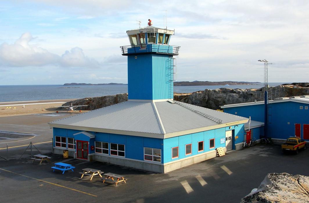
Gallery


Map and nearest places
| Longitude | Latitude |
|---|---|
| 68.7219444444444 | -52.7847222222222 |
| 68°43'0"N | 52°47'0"W |
| Nearest places | ||
|---|---|---|
 | Aasiaat | 3.7km |
 | Qeqertarsuaq | 59.3km |
| Qasigiannguit Heliport | 65.7km | |
| Qeqertarsuaq Heliport | 66.1km | |
 | Qasigiannguit | 69.3km |
 | Ilulissat | 86.9km |
| Ilulissat Airport | 90.0km | |
| Sisimiut Airport | 200.8km | |
| Sisimiut | 201.7km | |
| Ikerasak Heliport | 205.4km | |
| Ikerasak | 206.2km | |
| Kangerlussuaq Airport | 208.7km | |
| John Paul II International Airport | 4,262.7km | |
| Hobart International Airport | 16,904.3km | |
General informations
| Airport type | Local airport |
| ICAO | BGAA |
| IATA | JEG |
| Elevation | 74 ft / 23 m MSL |
| World Pax Ranking 2012 | #2040 |
| Year | Pax |
|---|---|
| 2012 | 19427 |
| 2008 | 20912 |
| 2007 | 21265 |
| 2006 | 18244 |
| 2005 | 18875 |
| 2004 | 17597 |
| 2003 | 17428 |
| 2002 | 18351 |
| 2001 | 17321 |
Weblinks
Comments
You need to log in to add comment