


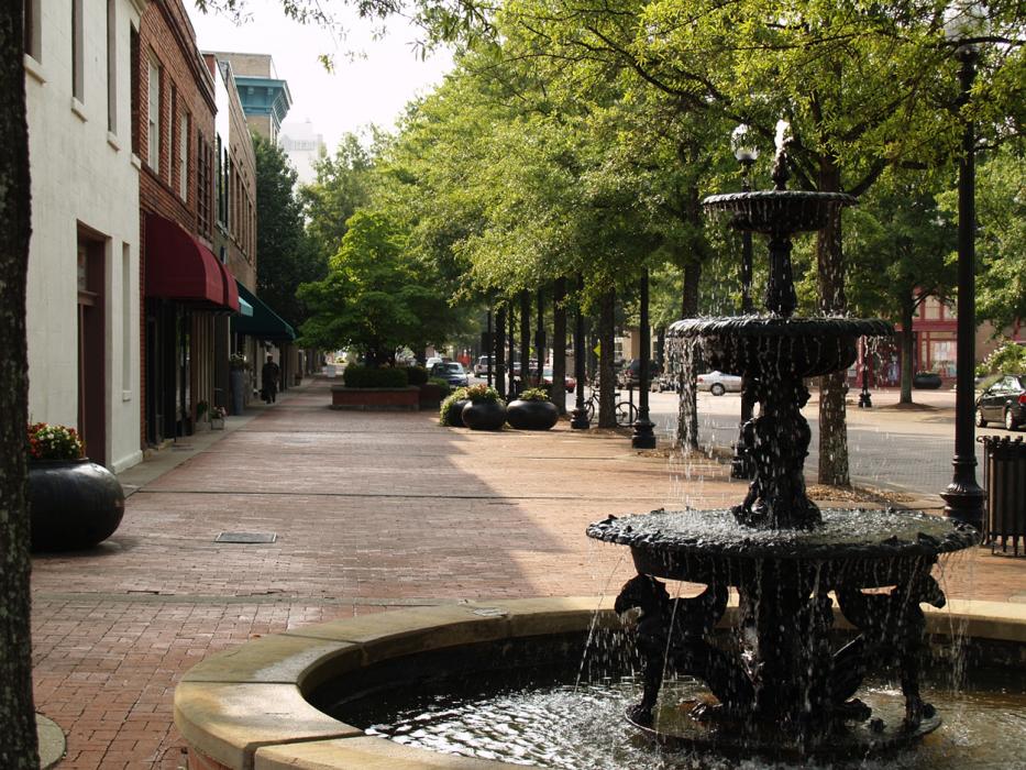
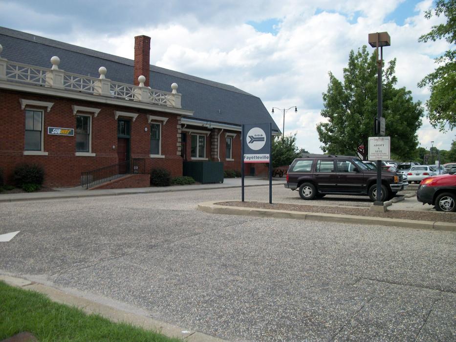
Gallery


Map and nearest places
| Longitude | Latitude |
|---|---|
| 35.0666666666667 | -78.9175 |
| 35°4'0"N | 78°55'0"W |
| Nearest places | ||
|---|---|---|
| Fayetteville Regional Airport | 9.1km | |
| Moore County Airport | 32.5km | |
| Aberdeen | 46.9km | |
| Lumberton | 49.6km | |
| Laurinburg-Maxton Airport | 51.0km | |
| Sanford | 51.2km | |
| Pinehurst | 51.8km | |
| Lumberton Municipal Airport | 52.4km | |
| Maxton | 53.8km | |
| Sanford-Lee County Regional Airport | 59.8km | |
| Johnston County Airport | 71.2km | |
| Smithfield | 71.5km | |
| John Paul II International Airport | 7,653.5km | |
| Busselton Regional Airport | 18,693.9km | |
Accomodation
Restaurants
Golfs club
Breweries
Airports
Weblinks
Comments
You need to log in to add comment