


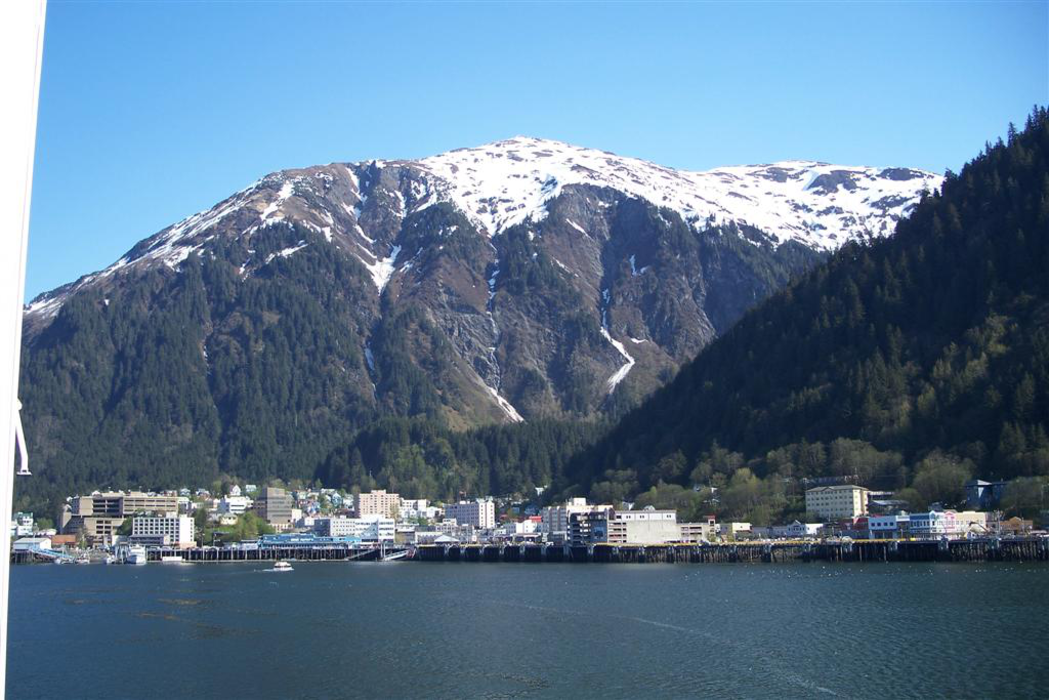
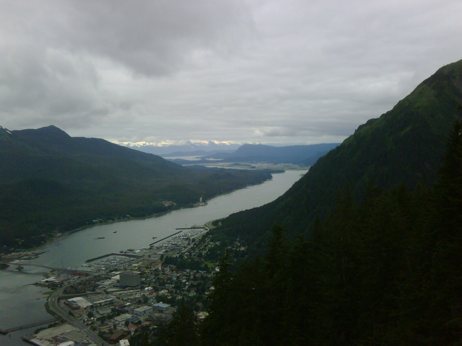
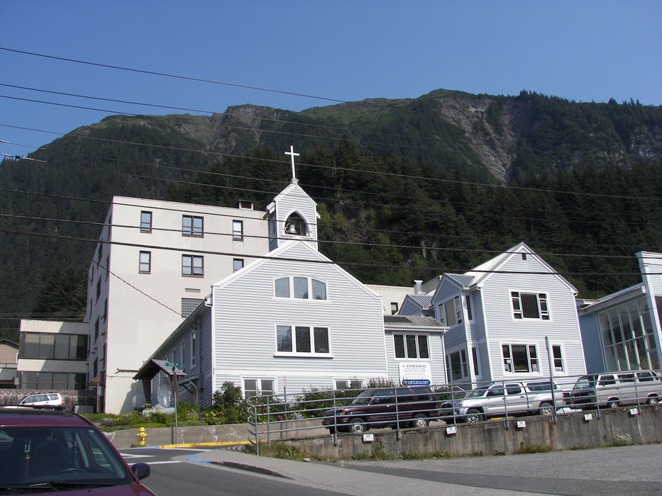
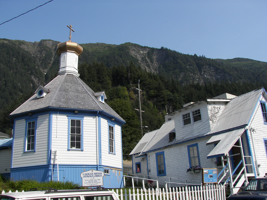
Gallery


Map and nearest places
| Longitude | Latitude |
|---|---|
| 58.444444 | -134.229722 |
| 58°26'0"N | 134°13'0"W |
| Nearest places | ||
|---|---|---|
| Juneau International Airport | 22.5km | |
| Excursion Inlet | 68.7km | |
| Excursion Inlet Seaplane Base | 71.0km | |
| Hoonah Airport | 79.1km | |
| Hoonah | 79.8km | |
| Gustavus Airport | 86.0km | |
| Gustavus | 88.3km | |
| Angoon Seaplane Base | 105.9km | |
| Angoon | 107.3km | |
| Chatham Seaplane Base | 111.6km | |
| Haines | 112.3km | |
| Pelican | 128.7km | |
| John Paul II International Airport | 7,718.4km | |
| Port Elizabeth Airport | 16,911.7km | |
Accomodation
Restaurants
Spirits Distillery
Airports
Weblinks
Comments
You need to log in to add comment