


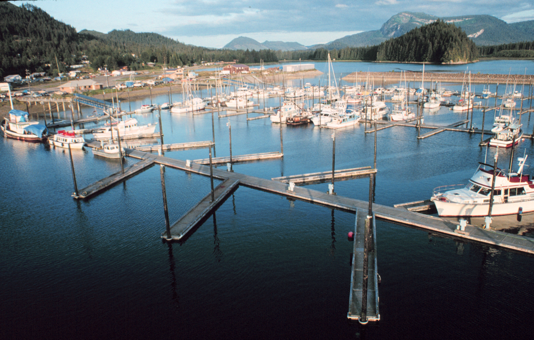
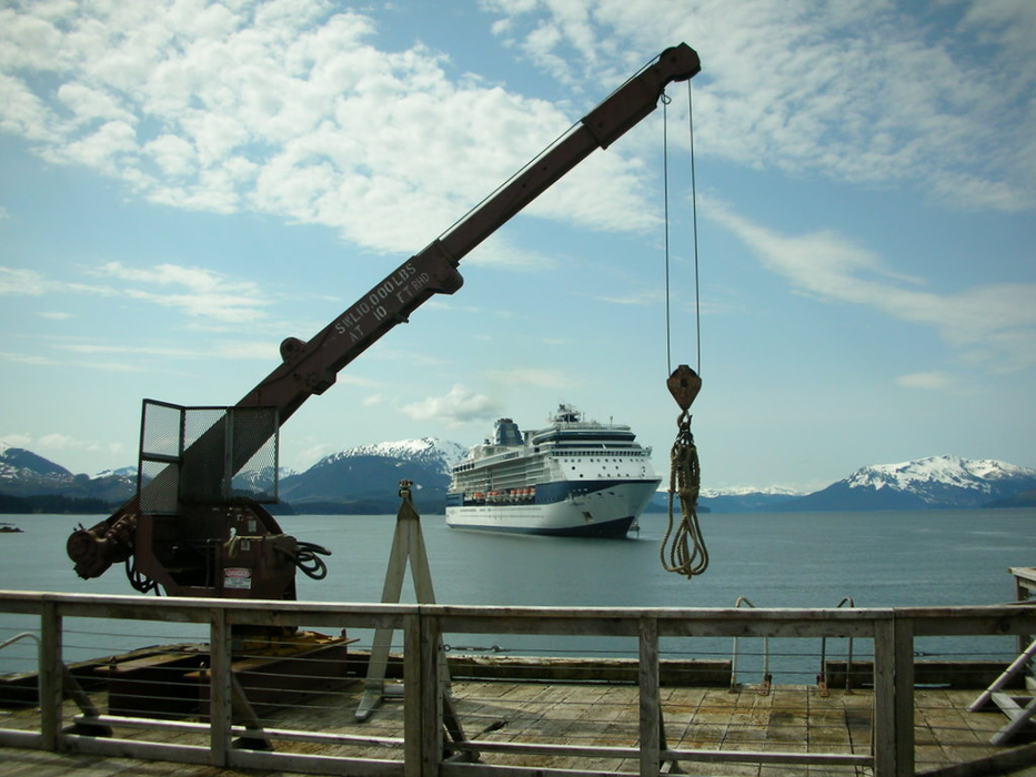
Gallery


Map and nearest places
| Longitude | Latitude |
|---|---|
| 58.1094444444444 | -135.436388888889 |
| 58°6'0"N | 135°26'0"W |
| Nearest places | ||
|---|---|---|
| Hoonah Airport | 2.2km | |
| Excursion Inlet | 33.6km | |
| Excursion Inlet Seaplane Base | 34.6km | |
| Gustavus Airport | 38.5km | |
| Gustavus | 38.6km | |
| Pelican | 49.3km | |
| Pelican Seaplane Base | 50.1km | |
| Elfin Cove Seaplane Base | 54.3km | |
| Juneau International Airport | 57.3km | |
 | Juneau | 79.8km |
| Angoon | 85.2km | |
| Sitka | 117.7km | |
| John Paul II International Airport | 7,774.7km | |
| Port Elizabeth Airport | 16,983.8km | |
Accomodation
Restaurants
Breweries
Airports
Weblinks
Comments
You need to log in to add comment