


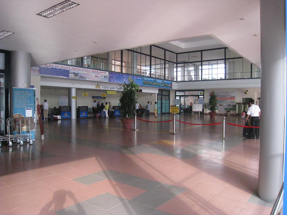
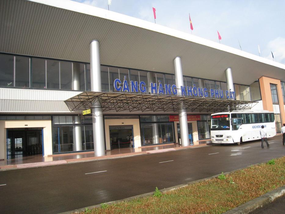
Gallery


Map and nearest places
| Longitude | Latitude |
|---|---|
| 13.955 | 109.042222222222 |
| 13°57'0"N | 109°2'0"E |
| Nearest places | ||
|---|---|---|
| Qui Nhon | 29.4km | |
| Tuy Hoa Airport | 105.5km | |
| Tuy Hoa | 105.5km | |
| Pleiku Airport | 110.7km | |
| Pleiku | 112.5km | |
| Chu Lai International Airport | 165.4km | |
| Chu Lai | 166.1km | |
| Buon Ma Thuot Airport | 174.5km | |
| Buon Ma Thuot | 178.2km | |
| Cam Ranh Airport | 218.4km | |
| Cam Ranh | 227.2km | |
| Da Nang International Airport | 249.3km | |
| John Paul II International Airport | 8,770.0km | |
| San Rafael Airport | 19,951.4km | |
General informations
| Airport type | Regional airport |
| ICAO | VVPC |
| IATA | UIH |
| Elevation | 80 ft / 24 m MSL |
| World Pax Ranking 2017 | #653(+116) |
| World Pax Ranking 2016 | #769(+112) |
| World Pax Ranking 2015 | #881(+222) |
| World Pax Ranking 2014 | #1103(+110) |
| World Pax Ranking 2013 | #1213(+56) |
| World Pax Ranking 2012 | #1269 |
| Year | Pax |
|---|---|
| 2017 | 1500000 |
| 2016 | 1000000 |
| 2015 | 700000 |
| 2014 | 420520 |
| 2013 | 290832 |
| 2012 | 236254 |
Weblinks
Comments
You need to log in to add comment