


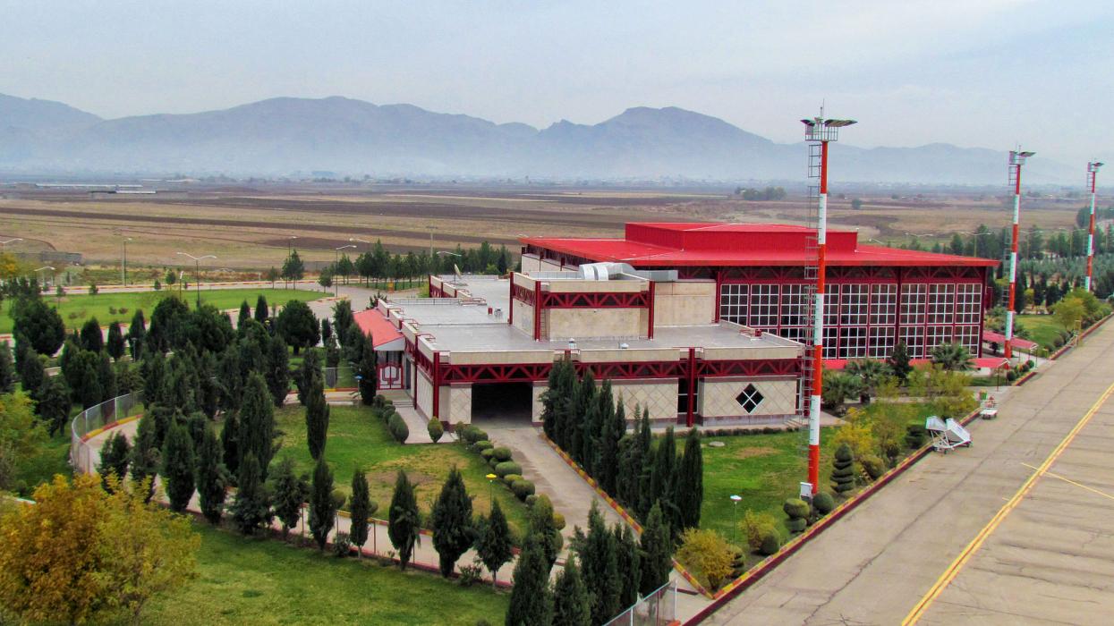
Gallery


Map and nearest places
| Longitude | Latitude |
|---|---|
| 33.435277777777806 | 48.282777777777795 |
| 33°26'0"N | 48°16'0"E |
| Nearest places | ||
|---|---|---|
| Khorramabad | 8.9km | |
| Shahid Ashrafi Esfahani Airport | 145.0km | |
| Kermanshah | 149.0km | |
| Hamadan | 153.3km | |
| Hamadan Airport | 161.4km | |
| Ilam | 173.9km | |
| Ilam Airport | 174.9km | |
| Shahid Asyaee Airport | 184.2km | |
| Masjed Soleiman | 192.1km | |
| Sanandaj Airport | 232.9km | |
| Ahwaz Airport | 237.6km | |
| Ahvaz | 238.0km | |
| John Paul II International Airport | 2,971.0km | |
| Totegegie Airport | 18,823.2km | |
General informations
| Airport type | Regional airport |
| ICAO | OICK |
| IATA | KHD |
| Elevation | 3,782 ft / 1,153 m MSL |
| World Pax Ranking 2014 | #1780(+147) |
| World Pax Ranking 2013 | #1927(-5) |
| World Pax Ranking 2012 | #1922(+27) |
| World Pax Ranking 2011 | #1949 |
| Year | Pax |
|---|---|
| 2014 | 76627 |
| 2013 | 38280 |
| 2012 | 30724 |
| 2011 | 17990 |
| 2009 | 34840 |
| 2006 | 43853 |
| 2005 | 11598 |
| 2004 | 14015 |
Weblinks
Comments
You need to log in to add comment