


Map and nearest places
| Longitude | Latitude |
|---|---|
| 44.903333 | -97.120556 |
| 44°54'0"N | 97°7'0"W |
| Nearest places | ||
|---|---|---|
| Watertown Regional Airport | 2.9km | |
| Clear Lake Municipal Airport | 37.1km | |
| Clear Lake | 38.1km | |
| Milbank | 51.9km | |
| Milbank Municipal Airport | 56.8km | |
| Brookings Regional Airport | 70.8km | |
| Brookings | 71.4km | |
| Sisseton | 84.7km | |
| Sisseton Municipal Airport | 85.9km | |
| Madison Municipal Airport | 98.7km | |
| Madison | 99.6km | |
| Huron | 105.8km | |
| John Paul II International Airport | 7,826.5km | |
| Busselton Regional Airport | 16,978.4km | |
Accomodation
Restaurants
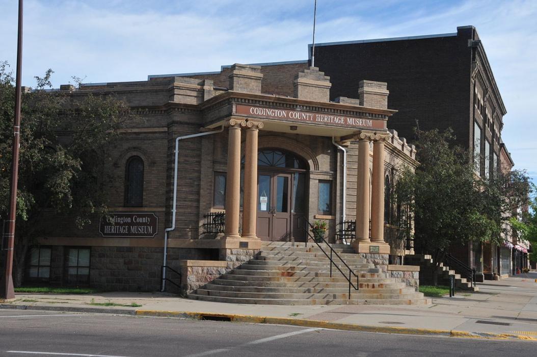
Museums
Spirits Distillery
Breweries
Airports
Weblinks
Comments
You need to log in to add comment