


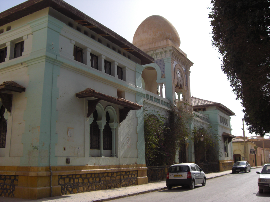


Map and nearest places
| Longitude | Latitude |
|---|---|
| 34.85 | 5.73333333333333 |
| 34°51'0"N | 5°43'0"E |
| Nearest places | ||
|---|---|---|
| Biskra Ouakda Airport | 6.7km | |
 | Batna | 87.2km |
| Batna Airport | 113.1km | |
 | Bou Saada | 147.1km |
| Ain Eddis Airport | 149.0km | |
 | Setif | 151.3km |
| Ain Arnat Airport | 152.9km | |
| Oued Irara Airport | 177.1km | |
| Guemar Airport | 177.2km | |
| El Oued-Guemar | 179.9km | |
 | Constantine | 184.3km |
 | Touggourt | 197.0km |
| John Paul II International Airport | 2,040.8km | |
| Gisborne Airport | 19,204.9km | |
Airports
Weblinks
Comments
You need to log in to add comment