


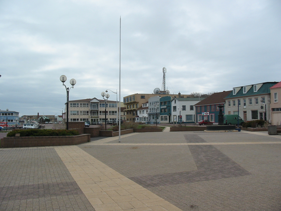
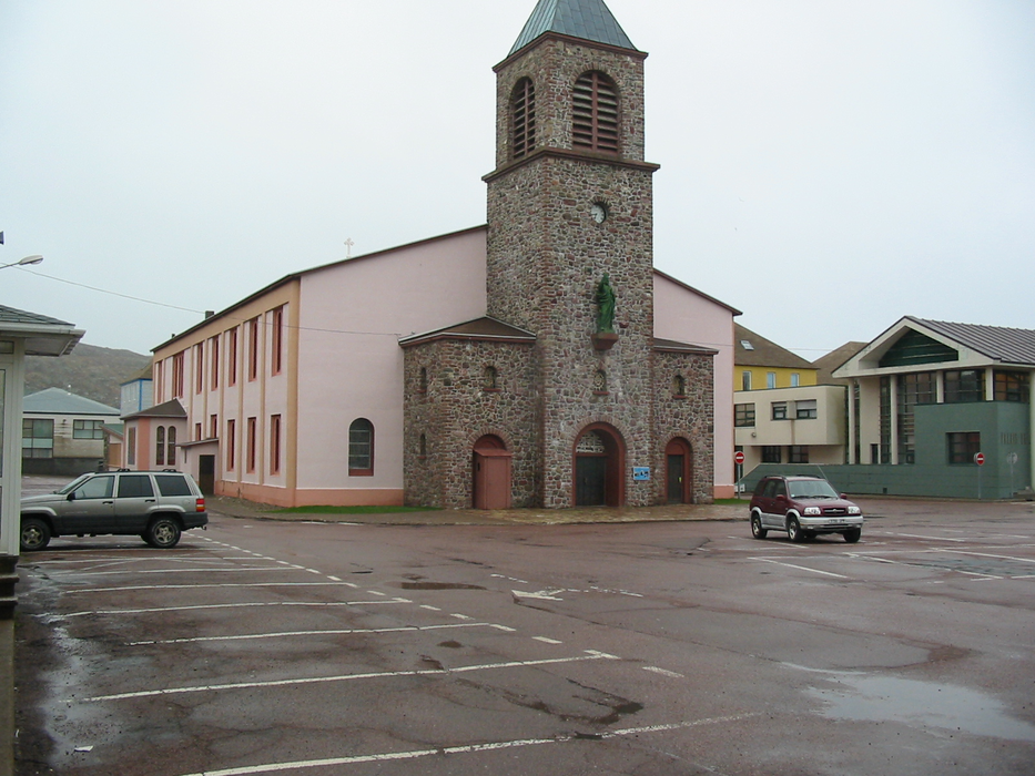
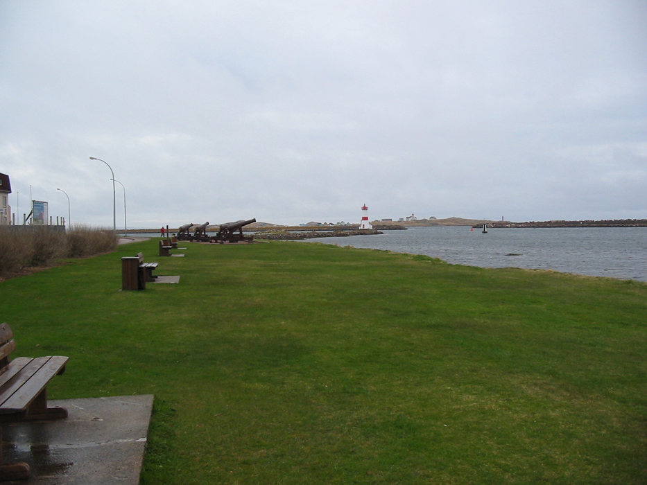


Map and nearest places
| Longitude | Latitude |
|---|---|
| 46.7833333333333 | -56.1833333333333 |
| 46°46'0"N | 56°10'0"W |
| Nearest places | ||
|---|---|---|
| St-Pierre Airport | 2.4km | |
| Miquelon | 29.6km | |
| Miquelon Airport | 38.0km | |
| Marystown | 88.1km | |
| Clarenville | 226.1km | |
| Clarenville Airport | 233.7km | |
| Channel-Port aux Basques | 239.9km | |
 | Brigus | 240.0km |
| Harbour Grace Airport | 242.8km | |
 | Harbour Grace | 243.0km |
| Exploits Valley (Botwood) Airport | 258.6km | |
| Bell Island Airport | 259.5km | |
| John Paul II International Airport | 5,368.8km | |
| Albany Airport | 18,606.0km | |
Accomodation
Airports

Weblinks
Comments
You need to log in to add comment