


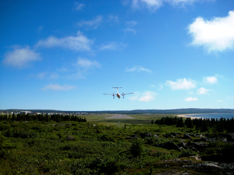
Gallery


Map and nearest places
| Longitude | Latitude |
|---|---|
| 55.2819444444444 | -77.7652777777778 |
| 55°16'0"N | 77°45'0"W |
| Nearest places | ||
|---|---|---|
| Kuujjuarapik | 0.9km | |
| Umiujaq Airport | 159.6km | |
| Umiujaq | 160.2km | |
| Radisson | 165.8km | |
| Sanikiluaq | 167.1km | |
| Sanikiluaq Airport | 167.4km | |
| La Grande Riviere Airport | 184.3km | |
| Wemindji Airport | 261.9km | |
| Wemindji | 271.2km | |
| Eastmain | 342.4km | |
| Eastmain River Airport | 343.4km | |
| Inukjuak Airport | 355.2km | |
| John Paul II International Airport | 6,047.2km | |
| Albany Airport | 17,457.7km | |
General informations
| Airport type | Local airport |
| ICAO | CYGW |
| IATA | YGW |
| Elevation | 34 ft / 10 m MSL |
| World Pax Ranking 2010 | #2369 |
| Year | Pax |
|---|---|
| 2010 | 0 |
| 2009 | 0 |
| 2008 | 0 |
| 2007 | 0 |
| 2006 | 0 |
| 2005 | 0 |
| 2004 | 0 |
Weblinks
Comments
You need to log in to add comment