


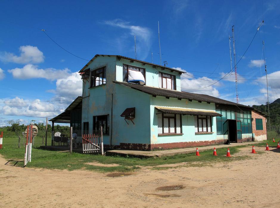
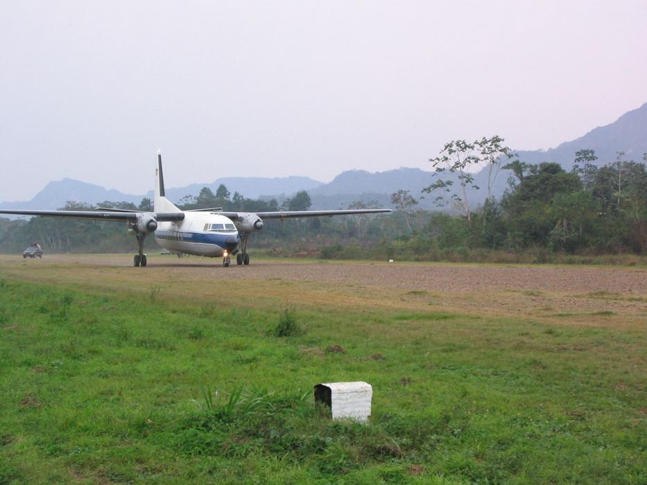
Gallery


Map and nearest places
| Longitude | Latitude |
|---|---|
| -14.4275 | -67.4980555555556 |
| 14°25'0"S | 67°29'0"W |
| Nearest places | ||
|---|---|---|
| Rurrenabaque | 3.4km | |
| Coroico | 196.9km | |
| Yacuma Airport | 234.4km | |
| Santa Ana de Yacuma | 235.9km | |
 | La Paz | 240.8km |
| El Alto International Airport | 243.6km | |
| Copacabana | 257.5km | |
| Copacabana Airport | 259.2km | |
| Puerto Maldonado | 272.9km | |
| Padre Aldamiz International Airport | 275.1km | |
| Teniente Jorge Henrich Arauz Airport | 281.0km | |
| Inca Manco Capac International Airport | 308.3km | |
| John Paul II International Airport | 11,041.7km | |
| Tuy Hoa Airport | 19,640.1km | |
General informations
| Airport type | Local airport |
| ICAO | SLRQ |
| IATA | RBQ |
| World Pax Ranking 2022 | #2042(+35) |
| World Pax Ranking 2021 | #2077(-122) |
| World Pax Ranking 2020 | #1955(+33) |
| World Pax Ranking 2019 | #1988 |
| Year | Pax |
|---|---|
| 2023 | 19705 |
| 2022 | 9588 |
| 2021 | 7201 |
| 2020 | 11508 |
| 2019 | 38882 |
Weblinks
Comments
You need to log in to add comment