


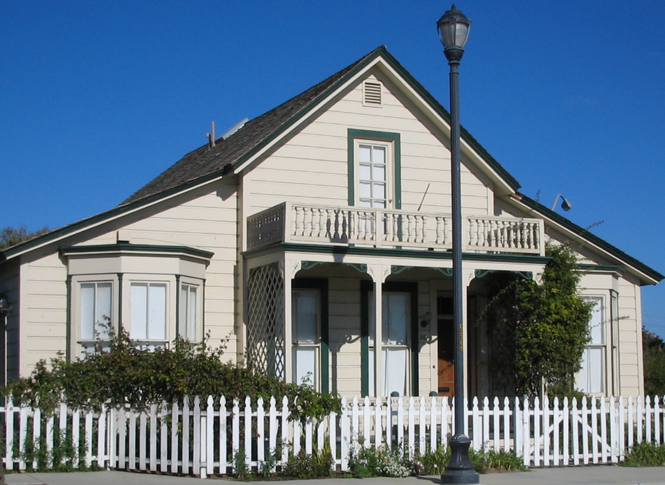
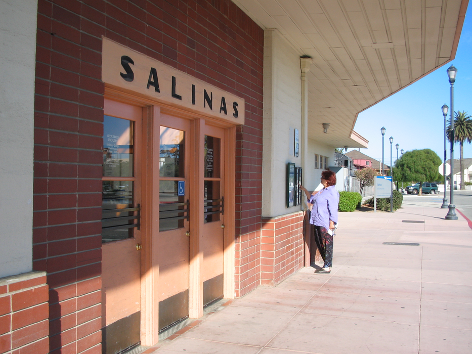
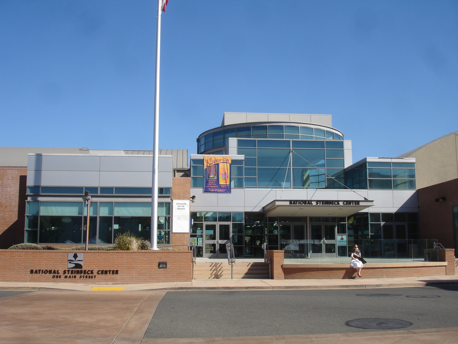
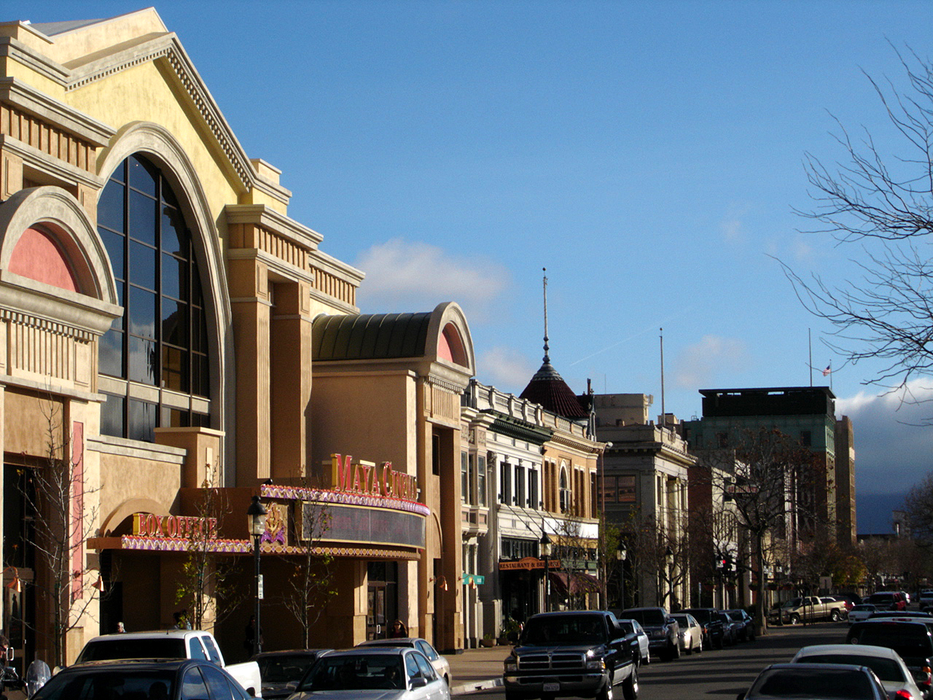
Gallery


Map and nearest places
| Longitude | Latitude |
|---|---|
| 36.677777777777806 | -121.653333333333 |
| 36°40'0"N | 121°39'0"W |
| Nearest places | ||
|---|---|---|
| Salinas Municipal Airport | 4.5km | |
| Marina Municipal Airport | 9.9km | |
| Marina | 13.3km | |
| Monterey Peninsula Airport | 19.7km | |
 | Monterey | 23.6km |
 | Pacific Grove | 24.4km |
| Gonzales | 26.6km | |
| Carmel | 27.7km | |
| Watsonville | 28.7km | |
| Watsonville Municipal Airport | 31.2km | |
| Hollister Municipal Airport | 32.3km | |
| Mesa Del Rey Airport | 69.0km | |
| John Paul II International Airport | 9,652.9km | |
| Tolagnaro Airport | 18,327.5km | |
Airports
Weblinks
Comments
You need to log in to add comment