


Gallery


Map and nearest places
| Longitude | Latitude |
|---|---|
| 36.8933333333333 | -121.410277777778 |
| 36°53'0"N | 121°24'0"W |
| Nearest places | ||
|---|---|---|
| Hollister | 5.2km | |
| Gilroy | 20.0km | |
| Salinas Municipal Airport | 31.0km | |
| Watsonville | 31.6km | |
 | Salinas | 32.3km |
| Watsonville Municipal Airport | 34.1km | |
| Marina Municipal Airport | 39.4km | |
| Marina | 41.9km | |
| Gonzales | 43.1km | |
| Monterey Peninsula Airport | 51.5km | |
| Los Banos Municipal Airport | 51.6km | |
| Gustine Airport | 56.8km | |
| John Paul II International Airport | 9,622.2km | |
| Tolagnaro Airport | 18,295.2km | |
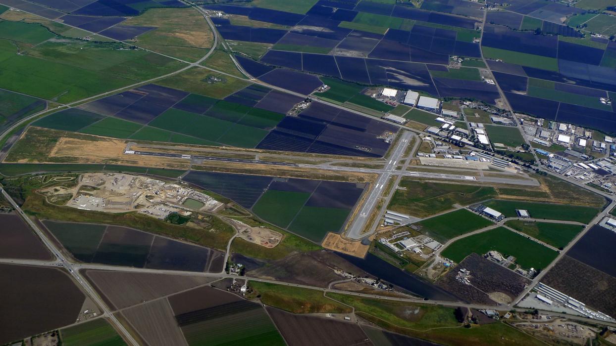
General informations
| Airport type | Local airport |
| ICAO | KCVH |
| IATA | HLI |
| FAA | CVH |
| Elevation | 230 ft / 70 m MSL |
Weblinks
Comments
On 12-13-2019 20:01 Jerzy said:
3nm N of Hollister
You need to log in to add comment
3nm N of Hollister
You need to log in to add comment