


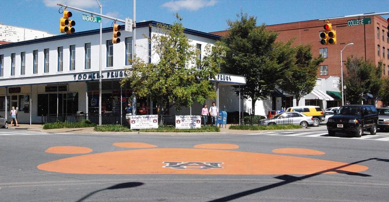
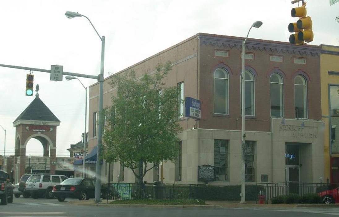
Gallery


Map and nearest places
| Longitude | Latitude |
|---|---|
| 32.5977777777778 | -85.4808333333333 |
| 32°35'0"N | 85°28'0"W |
| Nearest places | ||
|---|---|---|
| Auburn-Opelika Robert G. Pitts Airport | 4.8km | |
| Opelika | 10.2km | |
| Moton Field Municipal Airport | 24.1km | |
| Tuskegee | 28.1km | |
| Columbus Metropolitan Airport | 51.6km | |
 | Columbus | 52.0km |
| Thomas C Russell Field Airport | 57.2km | |
 | Alexander City | 57.6km |
| Lagrange-Callaway Airport | 59.6km | |
| Harris County Airport | 62.1km | |
| Pine Mountain | 65.7km | |
| Omaha | 66.7km | |
| John Paul II International Airport | 8,260.4km | |
| Busselton Regional Airport | 18,071.0km | |
Accomodation
Restaurants
Museums
Wineries
Breweries
Airports
Weblinks
Comments
You need to log in to add comment