


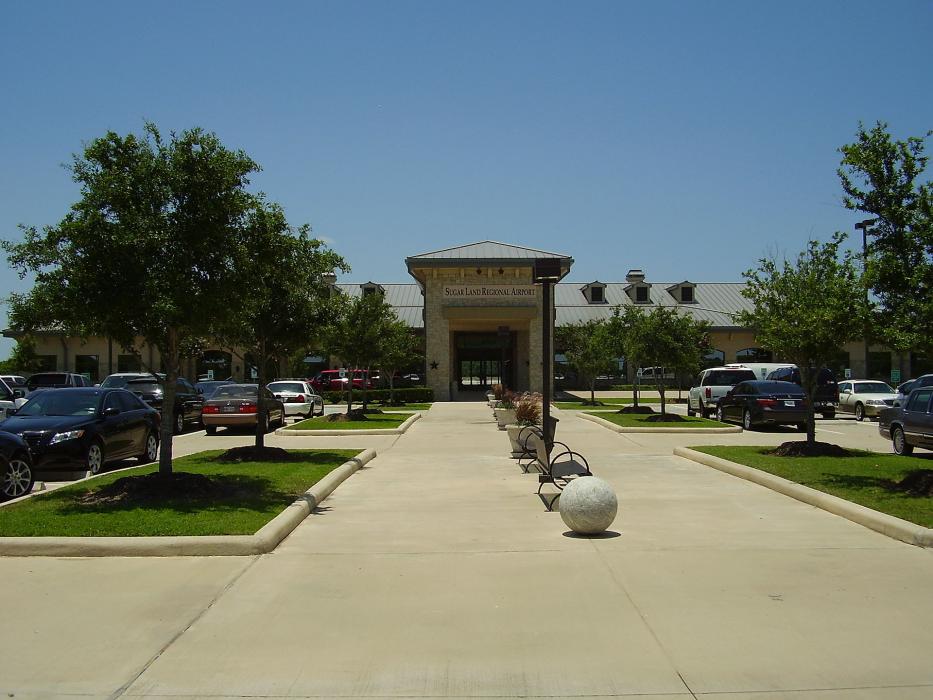
Gallery


Map and nearest places
| Longitude | Latitude |
|---|---|
| 29.622777777777802 | -95.65666666666671 |
| 29°37'0"N | 95°39'0"W |
| Nearest places | ||
|---|---|---|
| Sugar Land | 4.9km | |
| Houston Southwest Airport | 21.7km | |
| West Houston Airport | 21.8km | |
| Katy | 24.8km | |
 | Houston | 30.7km |
| Pearland | 35.7km | |
| William P. Hobby Airport | 36.6km | |
| Pearland Regional Airport | 41.6km | |
| ELLINGTON FIELD | 48.2km | |
| David Wayne Hooks Memorial Airport | 49.9km | |
 | Tomball | 53.1km |
| Wharton | 54.5km | |
| John Paul II International Airport | 9,116.4km | |
| Cocos Islands Airport | 17,686.6km | |
General informations
| Airport type | Local airport |
| ICAO | KSGR |
| IATA | SGR |
| FAA | SGR |
| Elevation | 82 ft / 25 m MSL |
Weblinks
Comments
You need to log in to add comment