


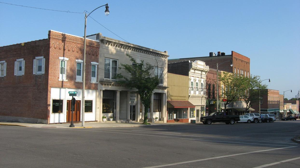
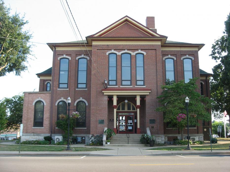
Gallery


Map and nearest places
| Longitude | Latitude |
|---|---|
| 38.883333 | -89.4 |
| 38°52'0"N | 89°24'0"W |
| Nearest places | ||
|---|---|---|
| Greenville Airport | 5.6km | |
| Sikeston | 16.0km | |
| Centralia | 46.1km | |
| Lebanon | 47.4km | |
| Centralia Municipal Airport | 48.9km | |
| Edwardsville | 49.2km | |
| MidAmerica St. Louis Airport | 53.3km | |
| Bethalto | 56.0km | |
| Pontoon Beach | 59.8km | |
| St. Louis Downtown Airport | 74.2km | |
| Mount Vernon Airport | 78.0km | |
| Lambert-St. Louis International Airport | 84.7km | |
| John Paul II International Airport | 7,950.7km | |
| Busselton Regional Airport | 17,726.9km | |
Restaurants
Museums
Airports
Weblinks
Comments
You need to log in to add comment