


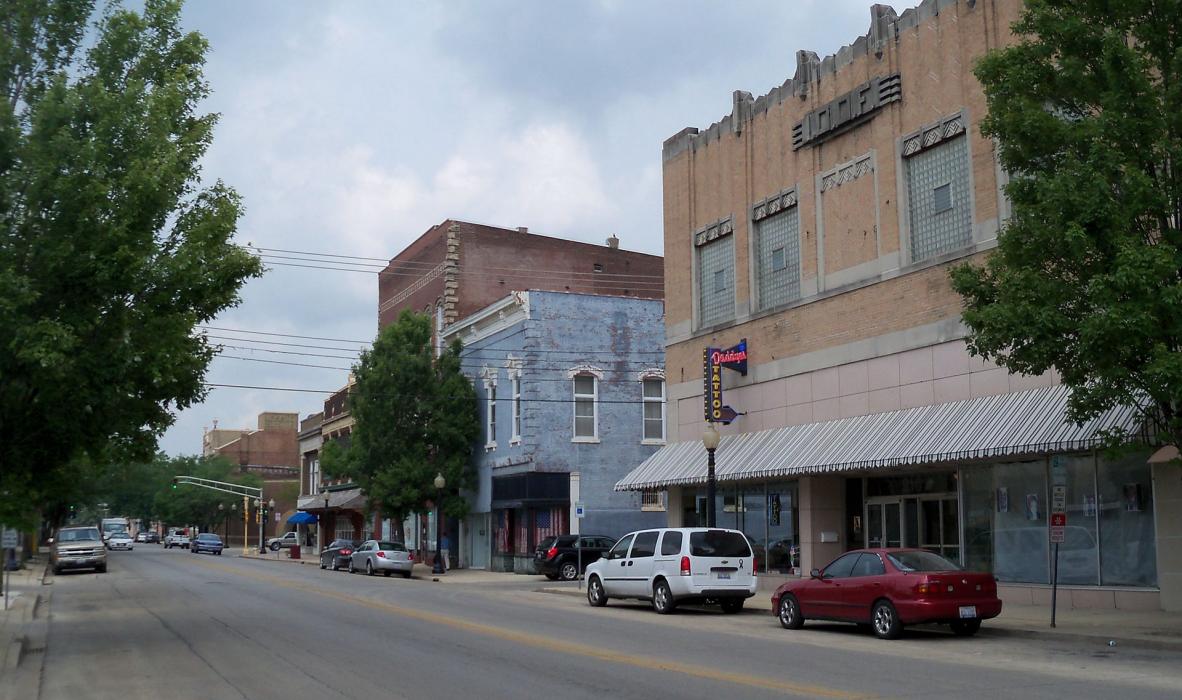
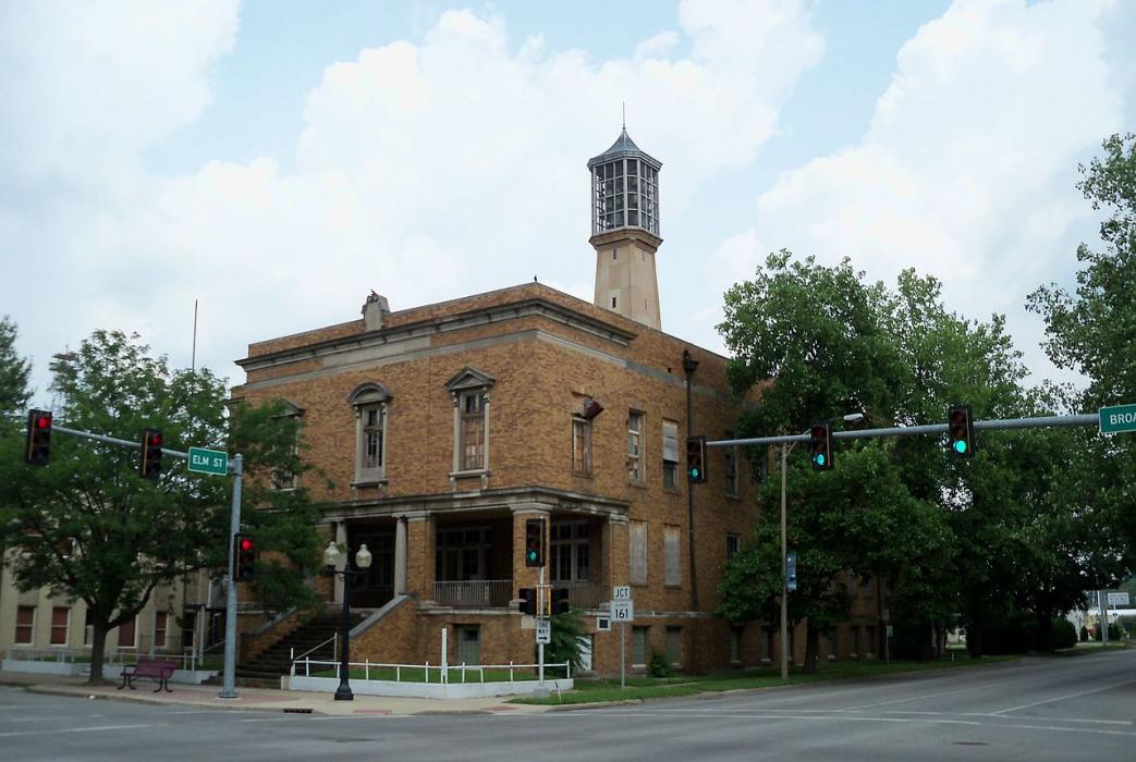
Gallery


Map and nearest places
| Longitude | Latitude |
|---|---|
| 38.525277777777795 | -89.1325 |
| 38°31'0"N | 89°7'0"W |
| Nearest places | ||
|---|---|---|
| Centralia Municipal Airport | 3.8km | |
| Mount Vernon | 30.6km | |
| Mount Vernon Airport | 32.8km | |
| Greenville Airport | 40.6km | |
| Greenville | 46.1km | |
| Sikeston | 55.6km | |
| Lebanon | 59.7km | |
| MidAmerica St. Louis Airport | 61.2km | |
| Belleville | 74.8km | |
| Edwardsville | 78.1km | |
| Southern Illinois Airport | 83.7km | |
| Williamson County Regional Airport | 86.3km | |
| John Paul II International Airport | 7,966.5km | |
| Busselton Regional Airport | 17,754.5km | |
Restaurants
Golfs club
Airports
Weblinks
Comments
You need to log in to add comment