


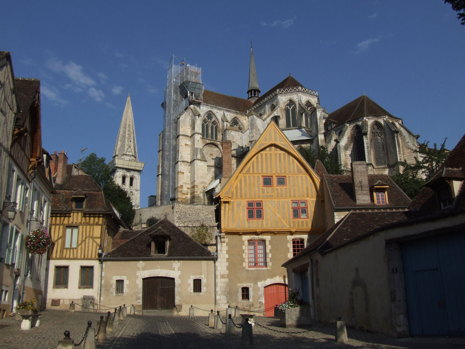
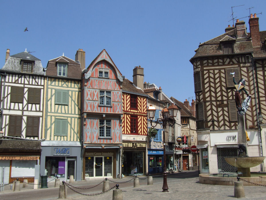


Map and nearest places
| Longitude | Latitude |
|---|---|
| 47.8 | 3.56666666666667 |
| 47°47'0"N | 3°34'0"E |
| Nearest places | ||
|---|---|---|
| Aťrodrome de Auxerre - Branches | 7.3km | |
 | Joigny | 23.9km |
| Joigny Airport | 25.3km | |
 | Vezelay | 39.4km |
 | Avallon | 42.9km |
 | Donzy | 58.0km |
 | Montbard | 62.2km |
 | Cosne-sur-Loire | 64.5km |
| Aťroport de Troyes - Barberey | 67.0km | |
| Fourchambault Airport | 95.0km | |
| Aťrodrome de Autun - Bellevue | 104.3km | |
| St-Denis de l'Hotel Airport | 105.2km | |
| John Paul II International Airport | 1,208.8km | |
| Tuuta Airport | 19,571.4km | |
Airports
Weblinks
Comments
You need to log in to add comment