


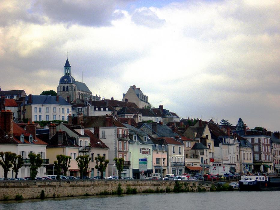


Map and nearest places
| Longitude | Latitude |
|---|---|
| 47.9830555555556 | 3.39777777777778 |
| 47°58'0"N | 3°23'0"E |
| Nearest places | ||
|---|---|---|
| Joigny Airport | 1.4km | |
| A�rodrome de Auxerre - Branches | 16.9km | |
 | Auxerre | 23.9km |
| A�roport de Troyes - Barberey | 59.4km | |
 | Troyes | 61.2km |
 | Vezelay | 63.1km |
 | Avallon | 66.8km |
 | Donzy | 71.0km |
 | Cosne-sur-Loire | 72.6km |
| St-Denis de l'Hotel Airport | 92.4km | |
| Vatry Airport | 105.6km | |
| Lognes - EMERAINVILLE Airport | 109.5km | |
| John Paul II International Airport | 1,214.6km | |
| Tuuta Airport | 19,550.9km | |
Accomodation

Airports
Weblinks
Comments
You need to log in to add comment