


_1124578609_700.jpg)


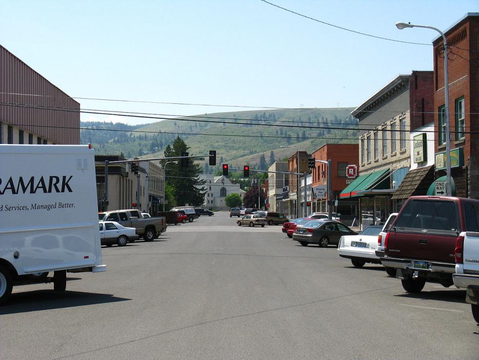
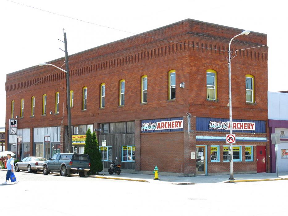
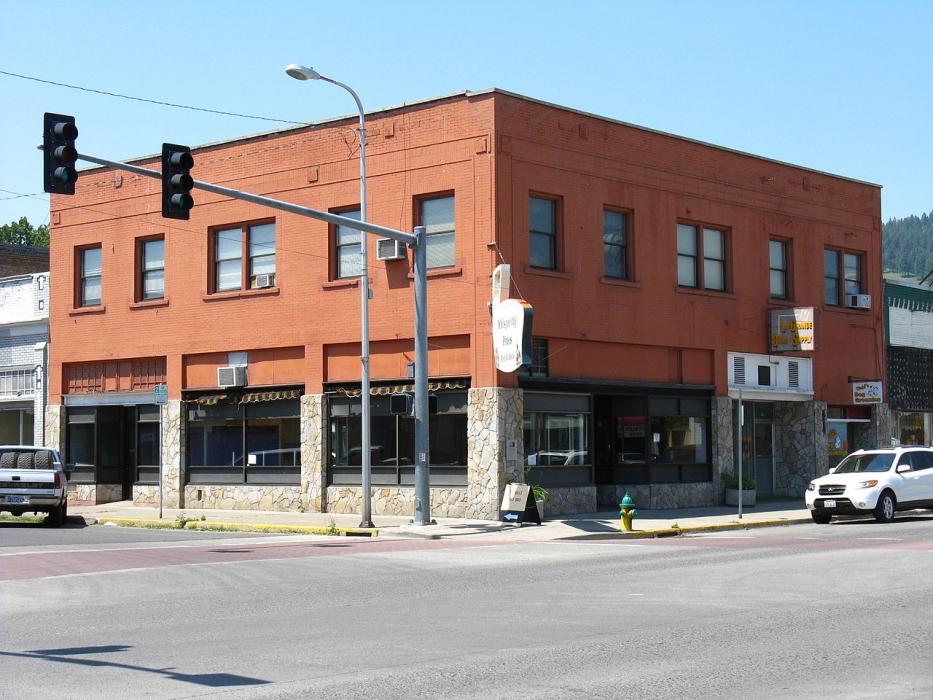
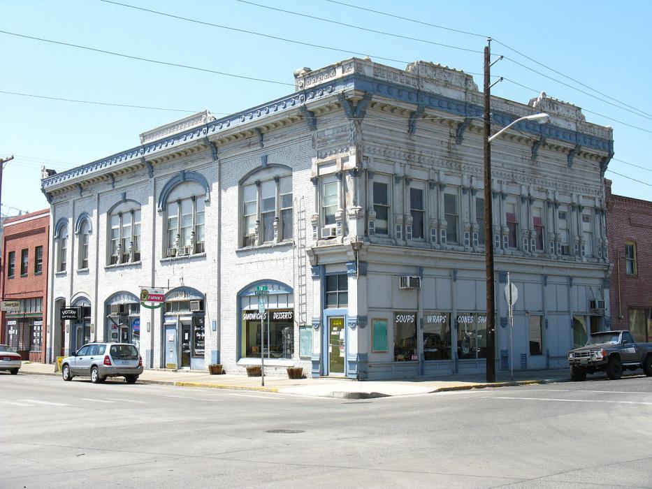
Map and nearest places
| Longitude | Latitude |
|---|---|
| 45.3272222222222 | -118.084166666667 |
| 45°19'0"N | 118°5'0"W |
| Nearest places | ||
|---|---|---|
| La Grande/Union County Airport | 7.3km | |
| Baker City Municipal Airport | 58.6km | |
| Enterprise | 64.0km | |
| Baker City | 64.3km | |
| Enterprise Municipal Airport | 64.9km | |
| Joseph State Airport | 65.0km | |
| Joseph | 66.8km | |
| Pendelton | 67.0km | |
| Eastern Oregon Regional Airport | 71.8km | |
| Walla Walla | 84.2km | |
| Walla Walla Regional Airport | 86.8km | |
| Imnaha | 100.9km | |
| John Paul II International Airport | 8,654.5km | |
| Tolagnaro Airport | 17,390.9km | |
Accomodation
Restaurants
Golfs club
Breweries
Airports
Weblinks
Comments
You need to log in to add comment