


Gallery


Map and nearest places
| Longitude | Latitude |
|---|---|
| 45.3594444444444 | -117.253888888889 |
| 45°21'0"N | 117°15'0"W |
| Nearest places | ||
|---|---|---|
| Joseph | 2.1km | |
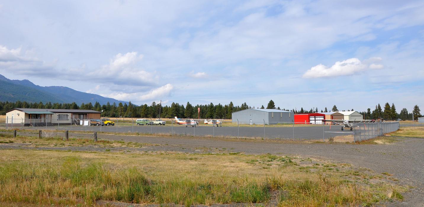
| Enterprise Municipal Airport | 7.3km | |
| Enterprise | 7.4km | |
| Imnaha | 39.6km | |
| Memaloose Airport | 44.4km | |
| La Grande/Union County Airport | 59.4km | |
| La Grande | 65.0km | |
| Baker City Municipal Airport | 72.6km | |
| Riggins | 73.6km | |
| Baker City | 79.1km | |
| Cottonwood Municipal Airport | 104.1km | |
| McCall Municipal Airport | 104.4km | |
| John Paul II International Airport | 8,622.5km | |
| Tolagnaro Airport | 17,349.4km | |
General informations
| ICAO | KJSY |
| FAA | JSY |
Weblinks
Comments
You need to log in to add comment